The Coronet Loop 'Lite'
There are few genuine backcountry mountain bike rides which are so accessible that you can begin the day with a brew at your favourite coffee shop and finish – suitably muddy and tired - with an icy cold, craft beer. But the Coronet Loop on the Queenstown Trails network is just such an MTB ride.
- Photography by Geoff Marks
Full Circuit | 50km | 1,650m vertical ascent | Time 4-8 hours
Skippers Saddle to Arrowtown “Lite” Option | 35km | 750m vertical ascent | Time 3-5 hours
Grade 3 Intermediate (with advanced sections)
Starting and finishing in Arrowtown, the full Coronet Loop is a 50km circuit with around 1,650m of vertical ascent and mostly comprised of sensational single track. It’s a big day out by anyone’s standards, and it’s a far more challenging experience than the other tracks which comprise the Queenstown Trails Great Ride.
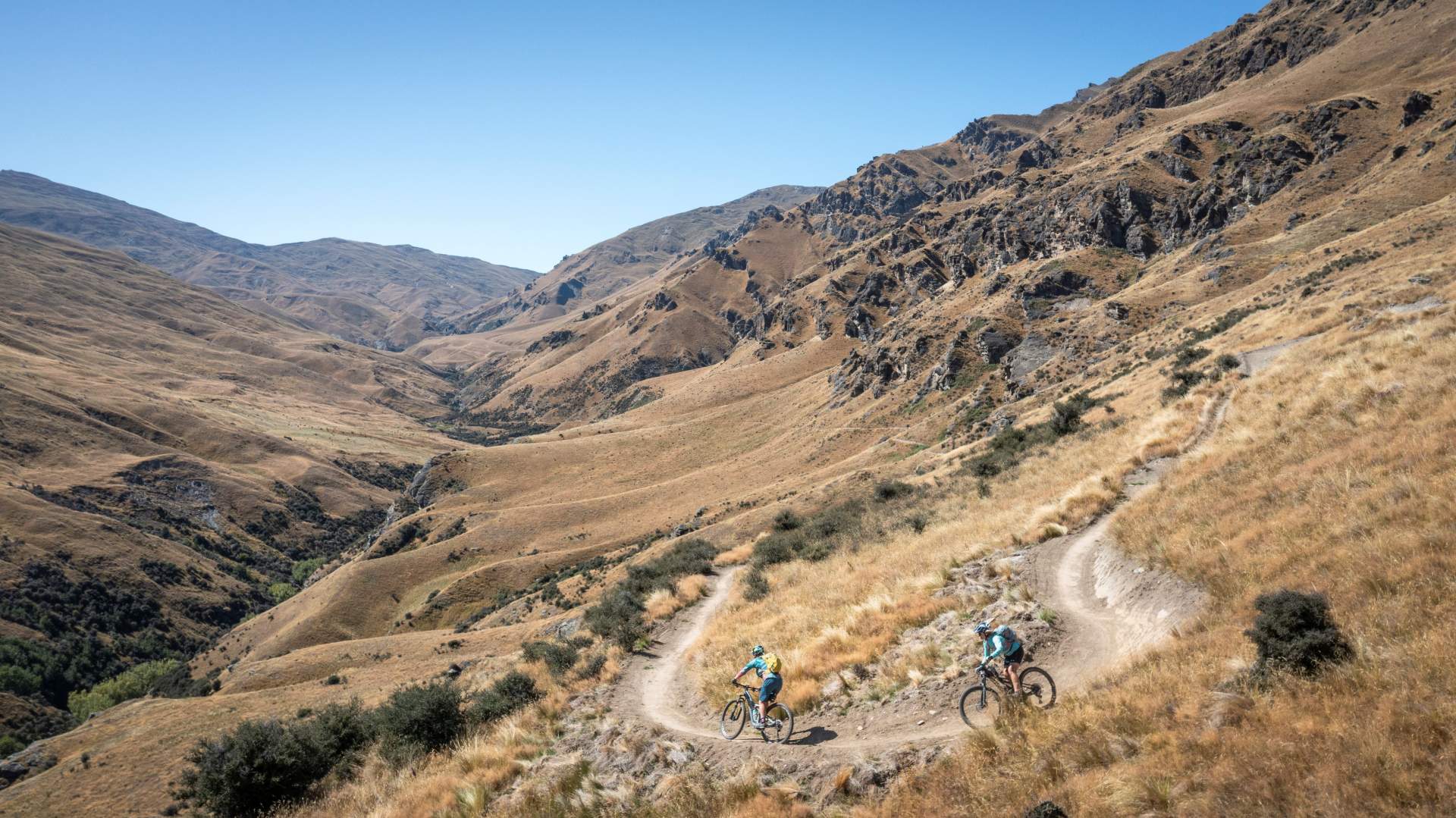
The Coronet Loop is an epic backcountry adventure for strong intermediate or experienced mountain bikers.
Whilst the trail is well formed and maintained, it traverses some remote and challenging backcountry terrain and once committed to the loop itself (between Greengate Saddle and the Macetown Road) there are no other entry or exit points from the trail. The trail is exposed with little shelter - aside from two heritage mining huts - and the trail’s alpine environment can regularly experience four seasons in one day. But for well prepared, experienced, and reasonably fit mountain bikers it’s one of the most rewarding and exhilarating tracks in New Zealand.
If you’ve checked out the trail details for the Coronet Loop and the total distance has put you off, then there’s an alternative Coronet Loop Lite option which reduces the amount of climbing by about vertical 900m and shortens the route to a more manageable 35km. The track is still challenging though with some technical sections, and you can’t avoid all the hills – you’ll still have about 750m vertical ascent to climb!
Descending the Skippers Pack Track (grade 3) from the Skippers Saddle car park off Coronet Peak Road.
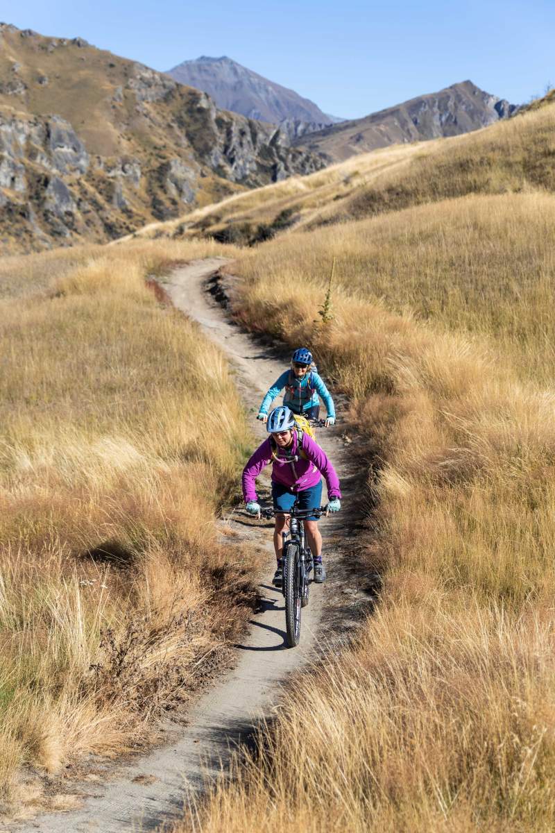
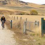
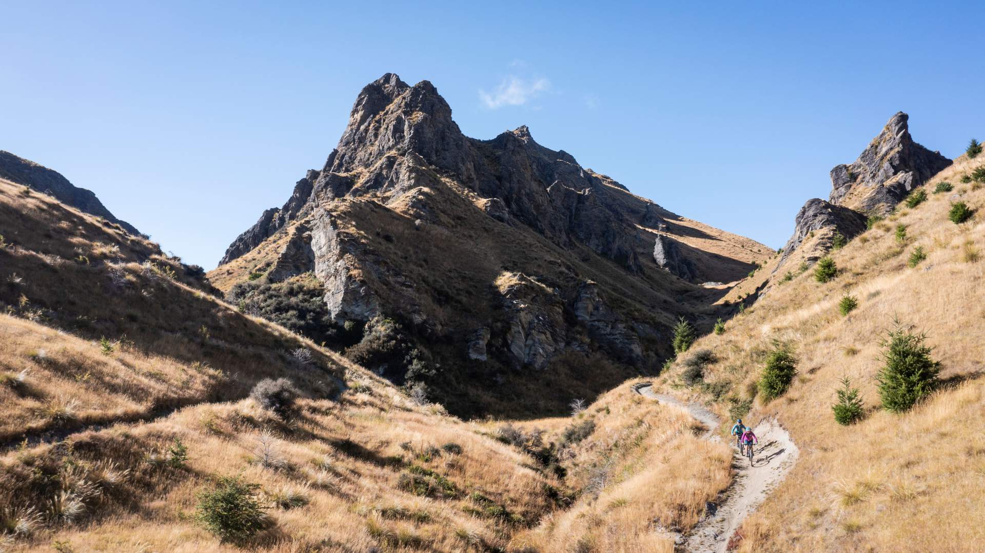
Classic New Zealand single track....
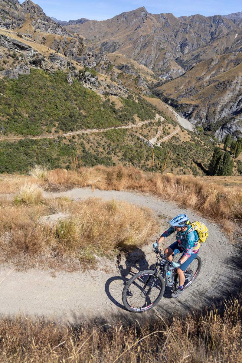
....plus breathtaking mountain views.
By shuttling up to Skipper’s Saddle car park on the Coronet Peak ski field road you can cut out the Bush Creek and Coronet Face sections from Arrowtown. Some of the local bike tour operators have started to offer shuttle services, or if there’s a group of you then leaving a vehicle in Arrowtown and sharing a ride up to the Saddle is an option, whilst some people choose to split into two groups and ride in opposite directions and swap car keys when they meet halfway.
From Skippers Saddle follow the Skippers Pack Track which is a fun, flowing grade 3 single track or ride down the Skippers Road before joining the switchback climb up to Greengate Saddle which is where the Coronet Loop proper starts. It’s recommended that less experienced or intermediate riders do not attempt the tricky Pack, Track and Sack trail which is grade 4.
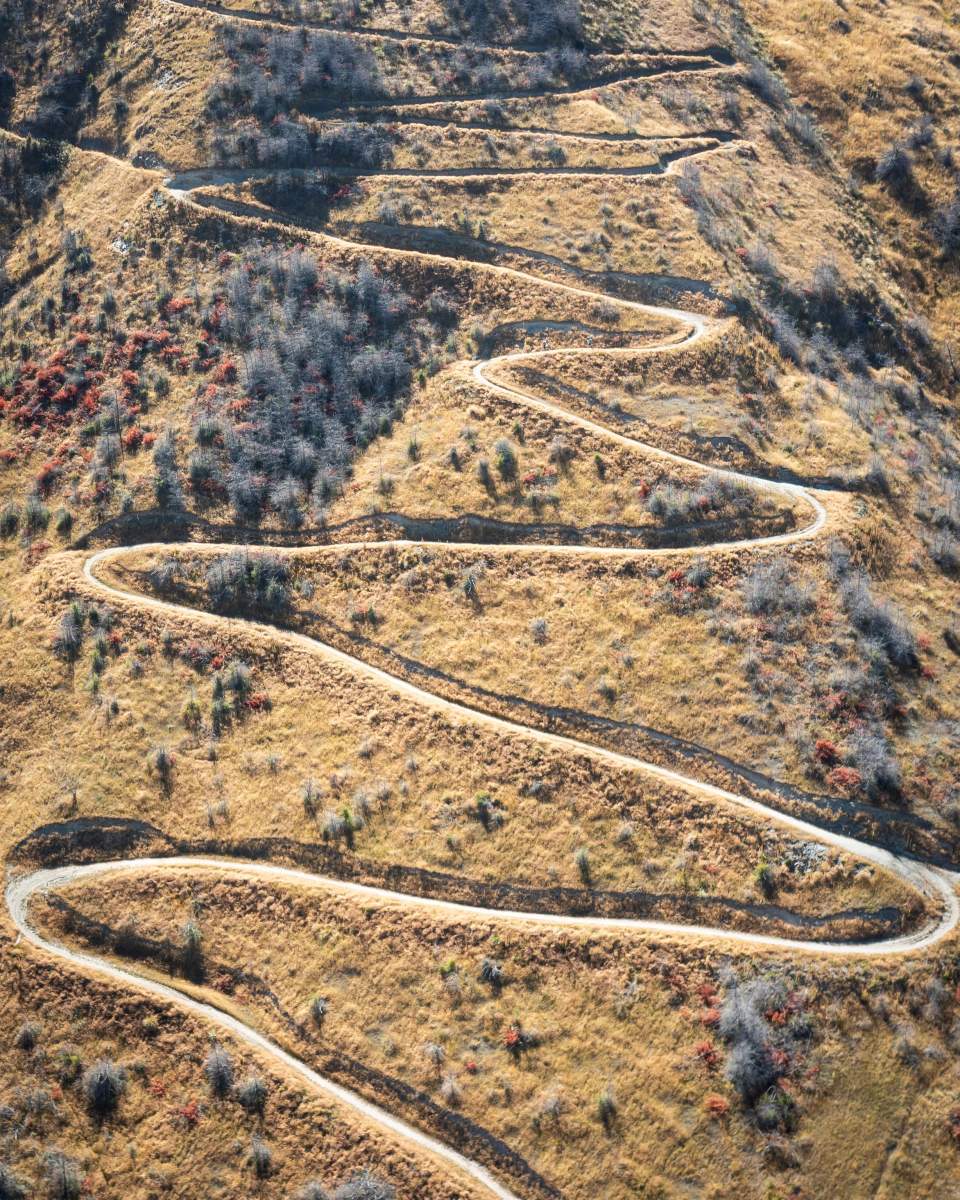
Switchback climbs on the Coronet Loop are well graded....and you'll get well used to cornering!
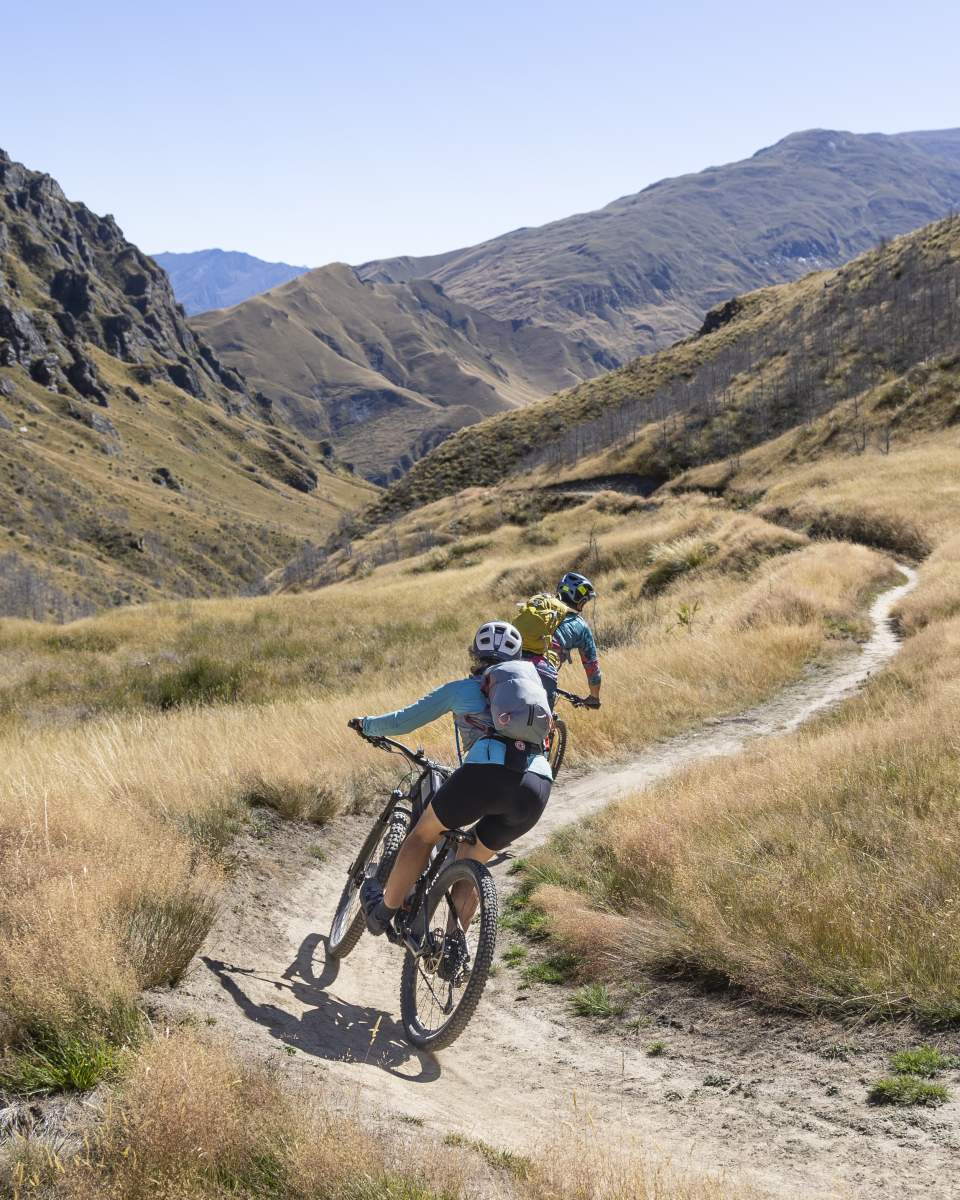
After the up comes the down, and there's no shortage of fast, flowing single track.
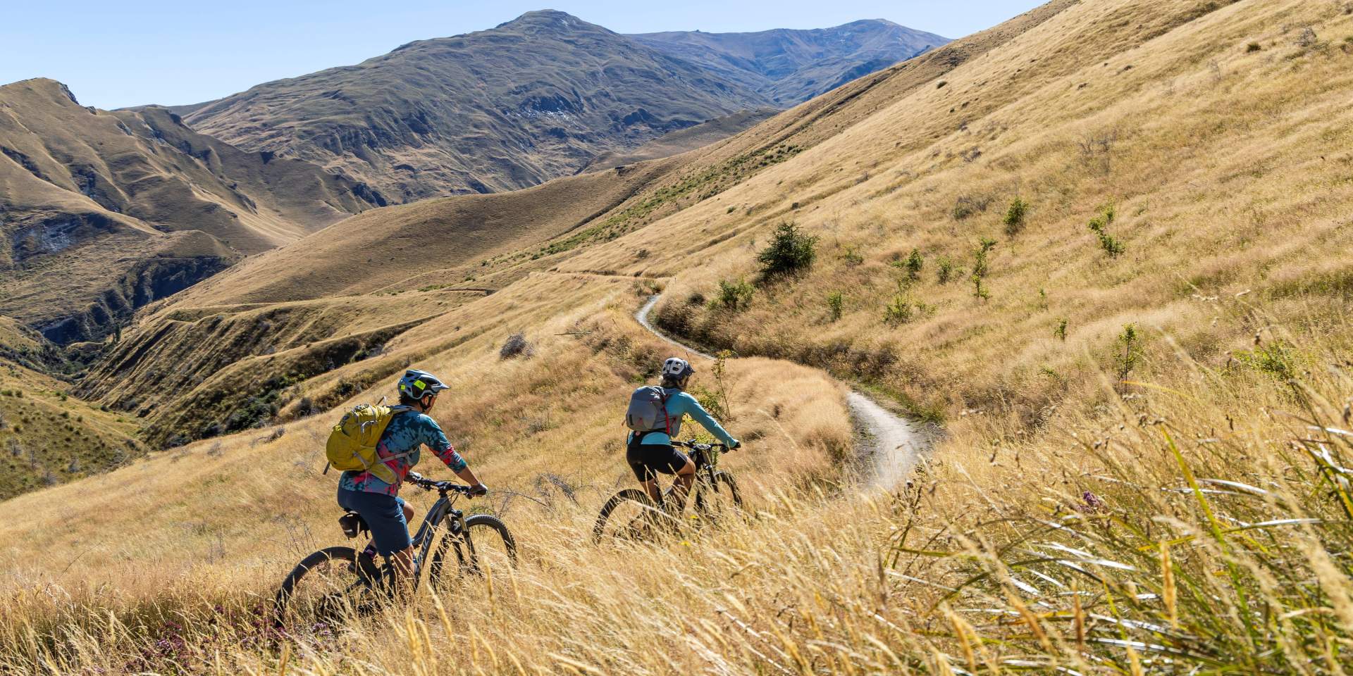
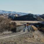
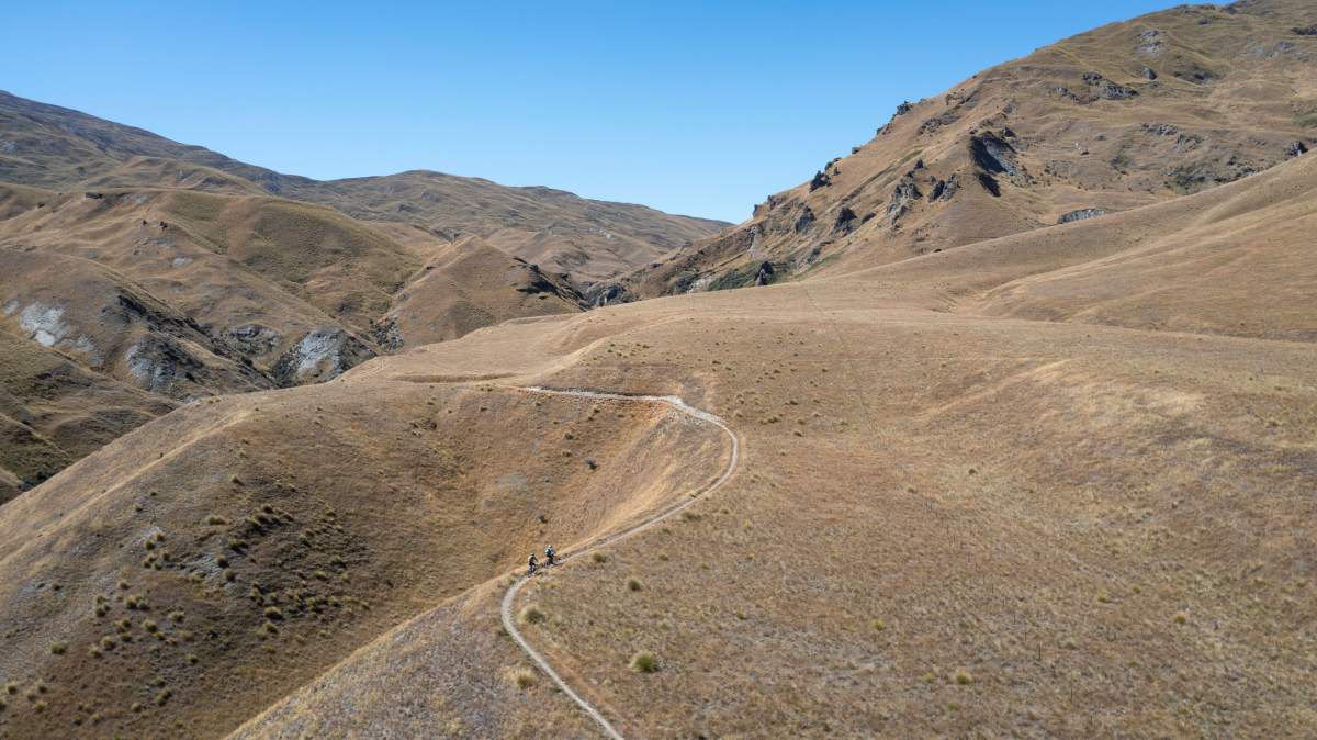
The track traverses through iconic tussock-clad New Zealand high-country.
From Greengate Saddle the trail becomes a true backcountry mountain experience. The loop is well signed and easy to follow with an excellent route description on the Queenstown Trails website. The scale and grandeur of the alpine environment is breathtaking and so it’s worth taking a picnic lunch and taking your time to enjoy the experience, before connecting with the Macetown Road and returning to civilisation in Arrowtown for that cold beer.

The Wharehuanui Trail
The new Wharehuanui Trail (Arrowtown to Arthur’s Point) is due to open in spring 2024 and will offer another slightly easier option for the Coronet Loop which also cuts out the Bush Creek section. From Arrowtown you’ll be able to ride along the new trail and connect to the Dan O’Connell Track which joins the Coronet Loop Connector trail up to Skippers Saddle. Whilst it’s an easier grade than Bush Creek, it still involves a decent climb up to Skippers.
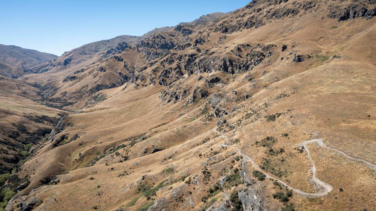
The Coronet Loop offers some of the best backcountry mountain biking in New Zealand.
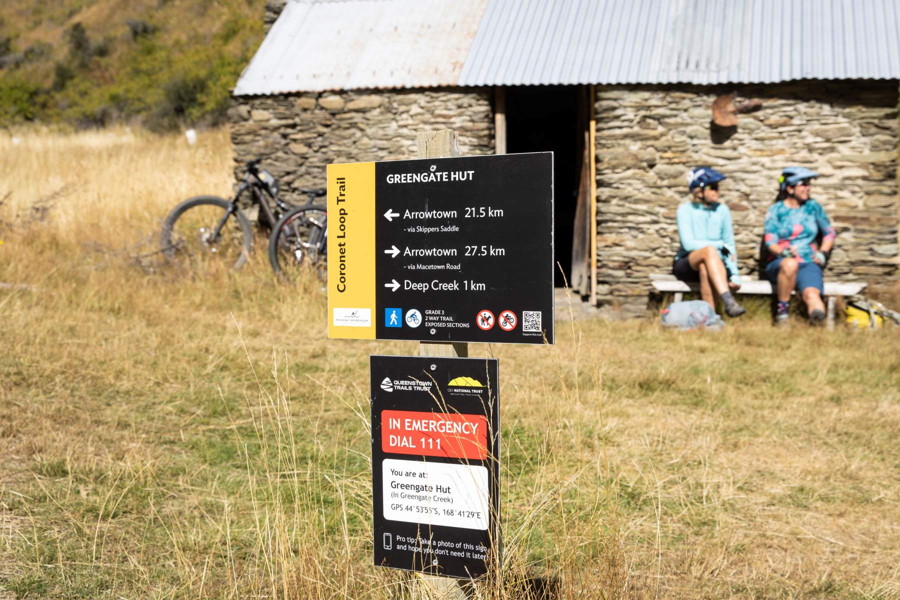
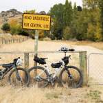
The Coronet Loop is well sign-posted with important safety information integrated with the signage.
A word about e-bikes
E-bikes with a motor size of 300 Watts or less are permitted on the track but be aware that there are multiple creek and river crossings which can vary in depth from an ankle-deep trickle to thigh-deep along the Arrow River. These river crossings could be a potential barrier for e-Bikers. After the Norman Spencer Bridge there is an option to divert off the Macetown 4WD road which avoids most of the Arrow River crossings. However, be warned that this alternate route includes a steep set of stairs with some narrow track sections before the trail levels off and returns to Butler’s Green in Arrowtown.
E-bike riders should also be aware that given the length and elevation of the trail, you’ll need to ride conservatively to save your battery. The terrain would be unforgiving and a slow grovel on a heavy e-bike with a flat battery!
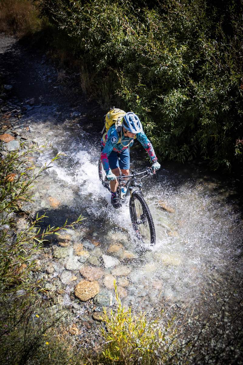
Expect wet feet on the Coronet Loop with numerous creek and river crossings... e-bikers beware!
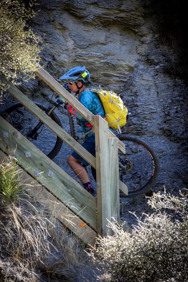
A detour around most of the Arrow River crossings is available but involves a steep set of steps and a narrow trail.
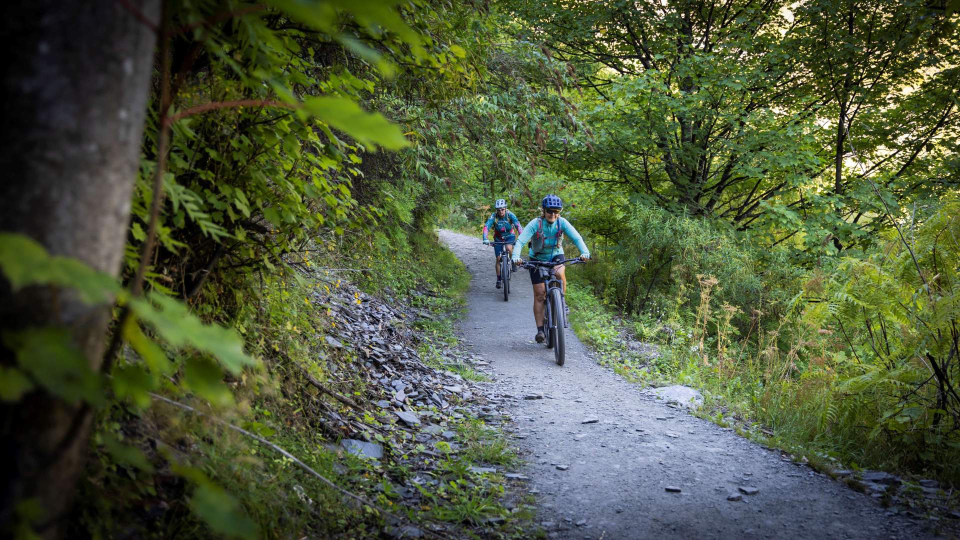
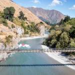
From gold to green - the landscape changes quickly from golden tussock to lush forest along the Arrow River.
Need to know
This is a backcountry track with limited phone coverage, so you will need to be adequately prepared and self-sufficient. As with all backcountry missions, a personal locator beacon, first aid kit, bike tools / repair kit, and a survival blanket are strongly recommended. Water can be limited - especially in summer - so carry at least 2 litres per person. There are some streams for a refill along the way, but it’s a good idea to treat this water.
The trail crosses a variety of terrain and includes some steep and exposed areas, moderately technical sections, and is not suitable for beginner riders. With multiple streams and creeks to cross carrying and reapplying chain lube is highly recommended.
The trail traverses through an alpine environment and weather can change rapidly. Check the forecast, apply sunscreen, bring extra layers, and tell someone when you expect to return.
Always follow the Land Safety Code - click below for more information.
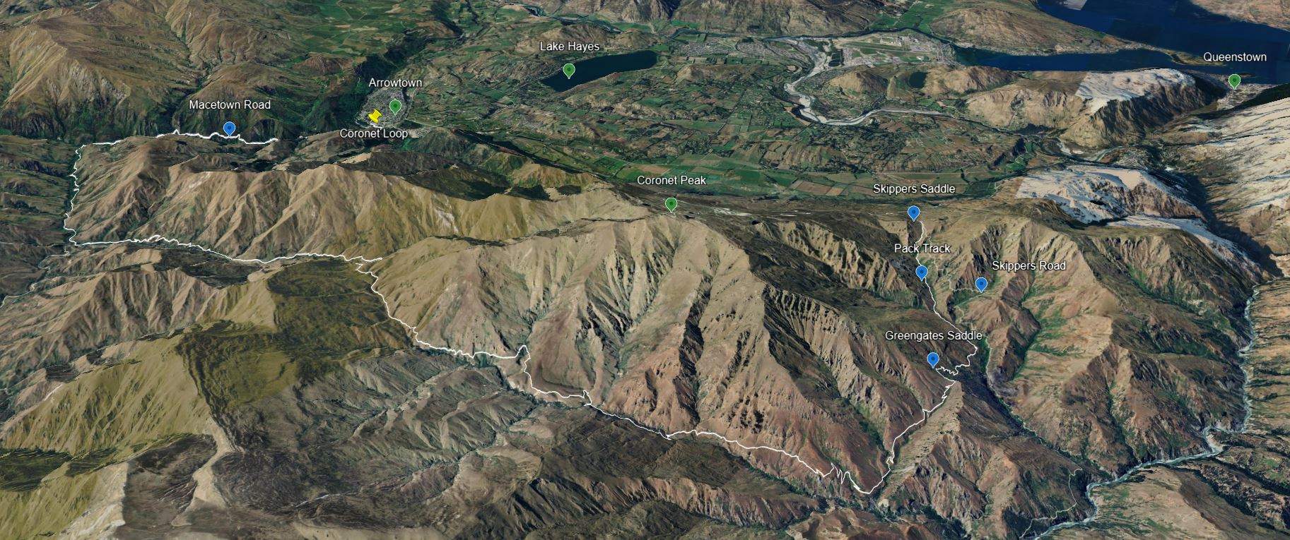
The Coronet Loop 'Lite" route displayed on Google Earth.

Related Stories
-

Otago Central Rail Trail Pub Guide
A guide to the pubs along the Otago Central Rail Trail
Read more about Otago Central Rail Trail Pub Guide -

Best Bakeries in Otago
From cinnamon scrolls to cheese rolls - a guide to the best trailside bakeries in Otago.
Read more about Best Bakeries in Otago -

25 Years On Track
The old and the new - celebrating 25 years of the Otago Central Rail Trail
Read more about 25 Years On Track -

Neat Trail Places
An insider's guide to the neatest places along Central Otago's bike trails.
Read more about Neat Trail Places -

Beginners Guide to Queenstown Trails
A beginner's guide to biking the Queenstown Trails
Read more about Beginners Guide to Queenstown Trails -

In Pictures - The Shotover Gorge Trail
Images of the new Kimi-ākau | Shotover Gorge Trail in Queenstown
Read more about In Pictures - The Shotover Gorge Trail -

One Day Winter Wonders
The best bike rides on the Otago cycle trails in winter.
Read more about One Day Winter Wonders -

Trail Tipples
Exploring Otago Wine Country on New Zealand’s Best Cycle Trails.
Read more about Trail Tipples -

Reclaiming Wild
Two gutsy girls on an epic bikepacking mission to celebrate their 50th birthdays.
Read more about Reclaiming Wild -

-

RIDE! Don't Drive
6 Reasons why riding a bike is the best way to explore Otago, New Zealand.
Read more about RIDE! Don't Drive


