Backcountry Biking in the Lindis
Challenging Rides for Experienced Mountain Bikers on the Lindis Pass Tracks
A challenging backcountry loop through iconic Central Otago high-country for intermediate to advanced mountain bikers with good fitness.
Distance 83km | Time 5-7 hours | Vertical Ascent 1,500m
If you’ve mastered Otago’s more challenging Great Rides such as the Lake Dunstan Trail, if you feel confident riding grade 3 tracks, and if you’ve built up a good level of fitness, then the Lindis Pass network of tracks could be the next challenge you’ve been looking for.
Between the Lindis Pass, Tarras and St Bathan’s in Central Otago, there’s a ‘golden triangle’ of backcountry tracks and trails for experienced mountain bikers to explore. Comprised of a mix of 4WD tracks and rugged farm trails, the network criss-crosses dramatic alpine scenery including New Zealand’s best known tussock landscapes. The Department of Conservation (DOC) manages numerous publicly accessible tracks in the Lindis Valley - suitable for both mountain bikers and hikers - and which can be found off State Highway 8 between Tarras and the Lindis Pass.
DOC’s Lindis Pass Tracks brochure is an excellent guide to the different tracks and riding options, but to get you started here’s an itinerary for a big day ride which includes some of this region’s highlights.
Or, for a shorter, but no less hilly option check out this 60km circuit.
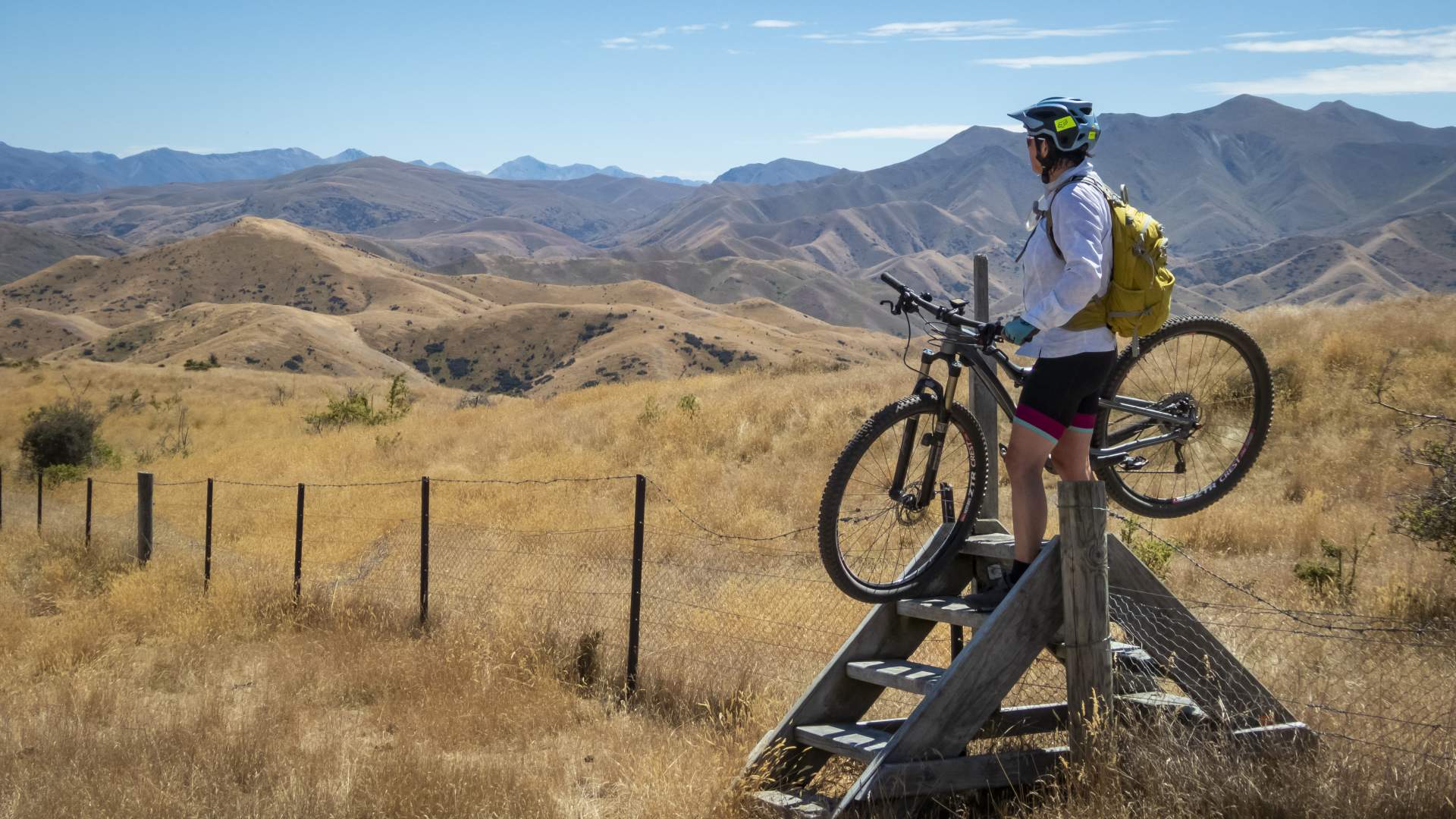
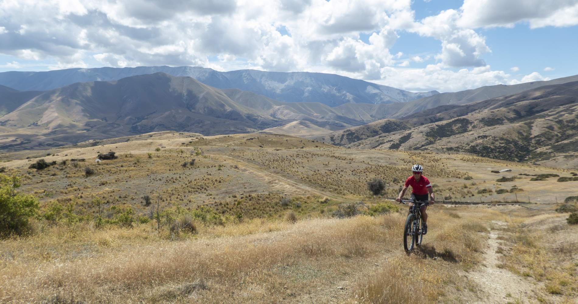
The Lindis Pass Tracks offer spectacular opportunities for backcountry mountain biking.
Tarras to the Historic Lindis Hotel
First things first. Coffee.
The Tarras Country Café not only serves great coffee, but also has a gourmet menu of delicious country cuisine including a hearty breakfast, cabinet food, and a vast selection of delicious sweets ideal for stashing in your pack as a treat on the ride.
Coffee sorted, on to the next thing…
This is a challenging ride. You’ll need to be well prepared for a long day in the hills. There’s little or no water along the route so make sure you have enough for the whole day. On a hot summer’s day this should be at least 3litres per person as this part of Central Otago is frequently one of the hottest places in New Zealand. Be sure to fill up your bottles or water bladder at Tarras before departing. It’s a good idea to leave a bottle or two in the car to rehydrate at the end of the ride too.
The route starts on Jolly Road which is on the other side of SH8 opposite the café (cross the road with caution, it can be very busy). Follow Jolly Road for a couple of kilometres, then turn right onto Deep Creek Road for about 6km before turning left onto Phillips Road. This first section of riding is on glorious gravel which gently rolls up and down following the contours of the landscape. It’s ideal gravel biking territory - although the rest of this route is suitable for mountain bikes only.
At the end of Phillips Road, turn left for a short section along SH8. Be sure to keep well left on the highway and if you’re in a group ride single file.
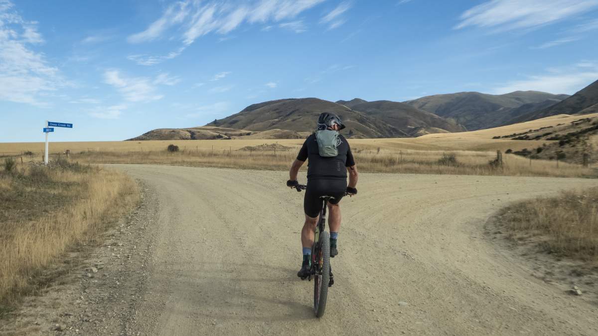
Glorious gravel.... the junction of Jolly Road with Deep Creek Road, near Tarras.
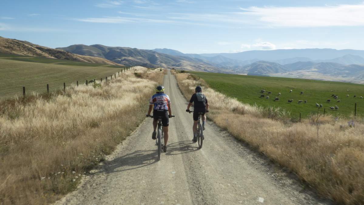
Central Otago offers outstanding options for gravel biking across the whole region.
After 1km, turn left onto Old Faithful Road (signed to Nine Mile Historic Reserve). Ironically, it’s only 6km (not 9 miles) to reach the remnants of the old Lindis Pass Hotel. The reserve has significant archaeological remains from alluvial goldmining in the 1860s, including an historic hut once belonging to “Wattie” Thompson, the last gold miner to work this area up until the early 1970s. You’ll also find the ruins of the old Lindis Pass Hotel here.
The Lindis Historic Hotel site (and campground) is a good stop for a short break and to have a look around the old hotel. It also offers the last decent shade from the sun and the last toilet on the route.
Continue along the rough track behind the hotel and the information kiosk and just beyond Wattie’s Hut, find a safe place to cross the Lindis River, looking for a 4WD track on the opposite river bank. DO NOT attempt to cross the river after heavy rain and if you’re unfamiliar with how to cross a river check out this guide from the Mountain Safety Council.
In summer, the flow of the Lindis River is generally low and it’s relatively straightforward to carefully wade across, with the deepest part of the river being about thigh high. (Note: the rocks can be slippery, so keep your shoes on - they’ll dry out in no time on the remainder of the ride).
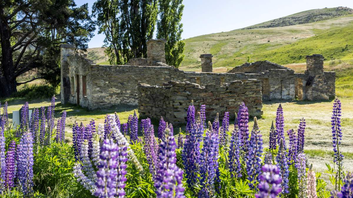
Ruins of the historic Lindis Pass Hotel, which was still serving guests up until the 1950s.
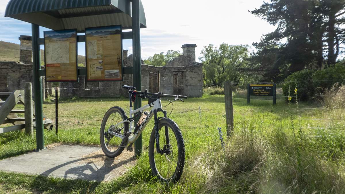
There is generally good DOC signage and interpretation across most of the route.
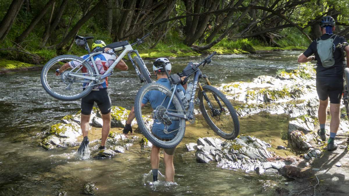
Wet feet are often inevitable on backcountry rides! Crossing the Lindis River.
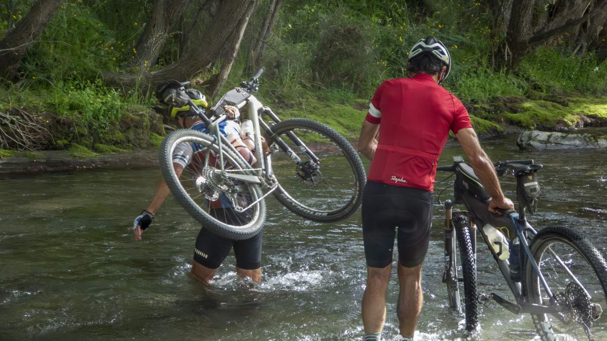
The flow of the Lindis River is generally low in the summer, but expect to get wet shorts. DO NOT cross after heavy rain.
Goodger Road to McPhies Ridge Track
Note: Closed for lambing 10 October – 5 December
After crossing the river, a short section of 4WD track leads back to SH8. Turn right back on to the highway, again riding with extreme caution, until you reach Goodger Road after about 800m. Turn left onto Goodger Road.
Goodger Road crosses Shirlmar Station which produces some of New Zealand's finest merino wool, but it also farms white deer (known as white red deer apparently…go figure) so keep an eye out for them as you ride along. The route starts to gradually tilt upwards along Goodger Road, beginning with a long, false flat and then culminating in a series of longer, steep climbs.
But as with most climbs in these parts, the views from the top are nothing short of spectacular, especially of the Chain Hills and the dramatic St Bathan’s Range which looms ominously at the head of the valley.
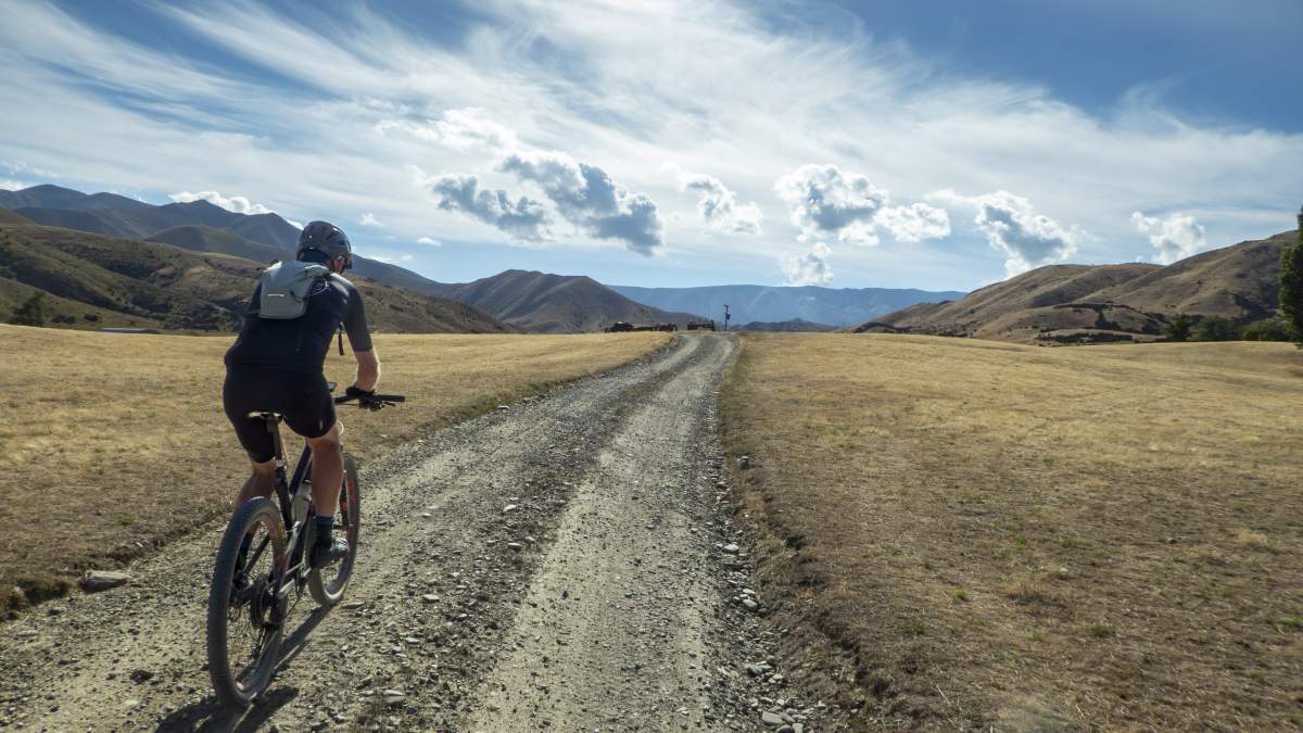
Goodger Road is a long, false flat but a good warm up for what's coming....
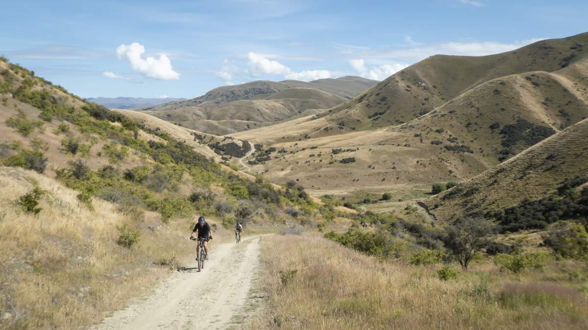
....some steep, long climbs through iconic Central Otago landscapes.
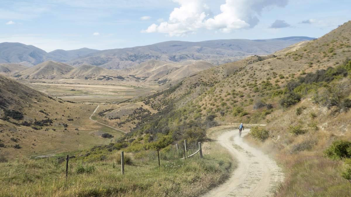
What goes up... must come down!
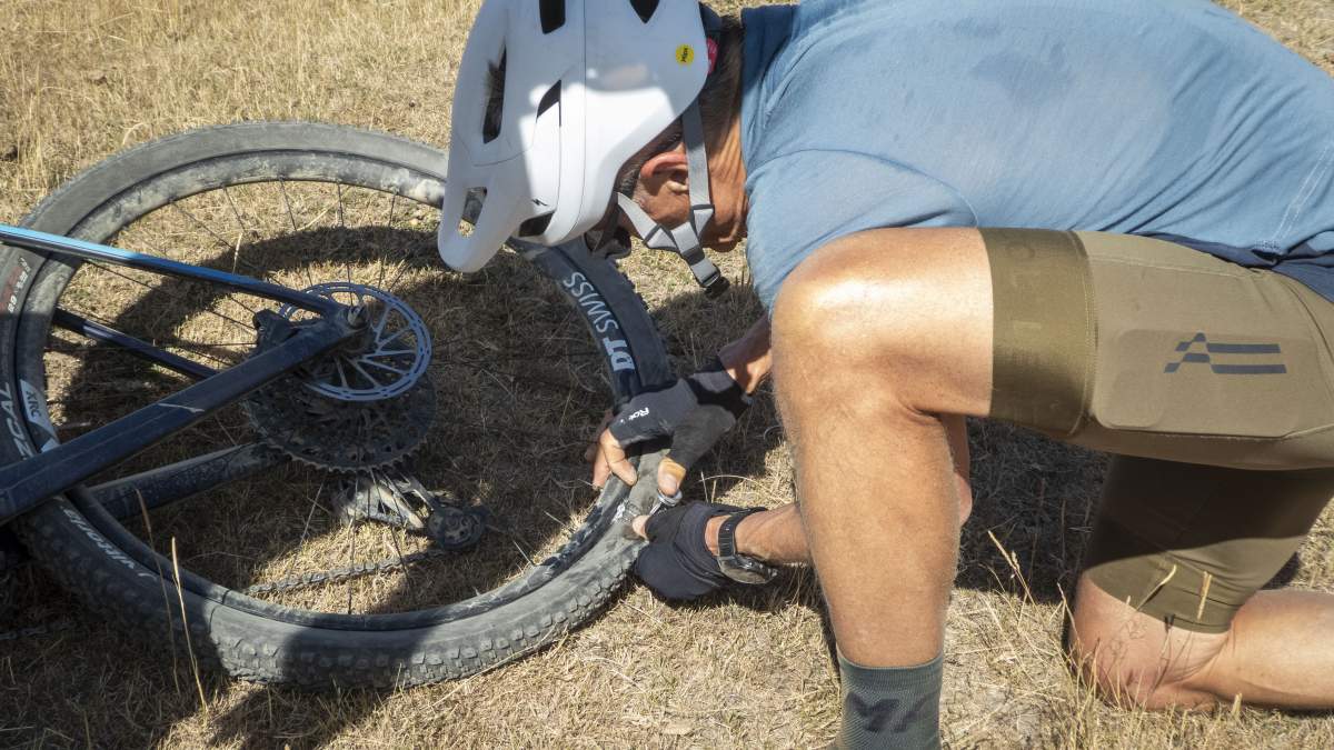
You'll need to carry everything you need on this ride, including a good toolkit. Punctures are to be expected in this terrain.
You’ll ride past the DOC car park at Tim Burn and then reach the Pleasant Valley car park where you connect to the McPhies Ridge Track, which you’ll follow for the next 25km. This track is on a public easement through private farmland, so please respect the landowner’s property by keeping all gates as you found them and proceeding slowly around any livestock.
McPhies Ridge Track begins easily enough, but once you reach Coal Creek (there’s a private farm hut here), then the climbing kicks in again and most mere mortals will probably need to push their bikes up the first ~200m which is extremely steep. The track continues to climb and then undulates along the ridgeline offering some sensational views across to the Lindis Pass, St Bathans Range, Upper Clutha Valley and even as far as Mount Aspiring on a clear day.
After around 20kms be prepared for a fast descent back down to the Lindis River where you’ll connect briefly onto the Cluden Creek. (Note: take care on the short section along the river as this can be quite overgrown and difficult to follow the trail with numerous hidden obstacles, ruts and holes).
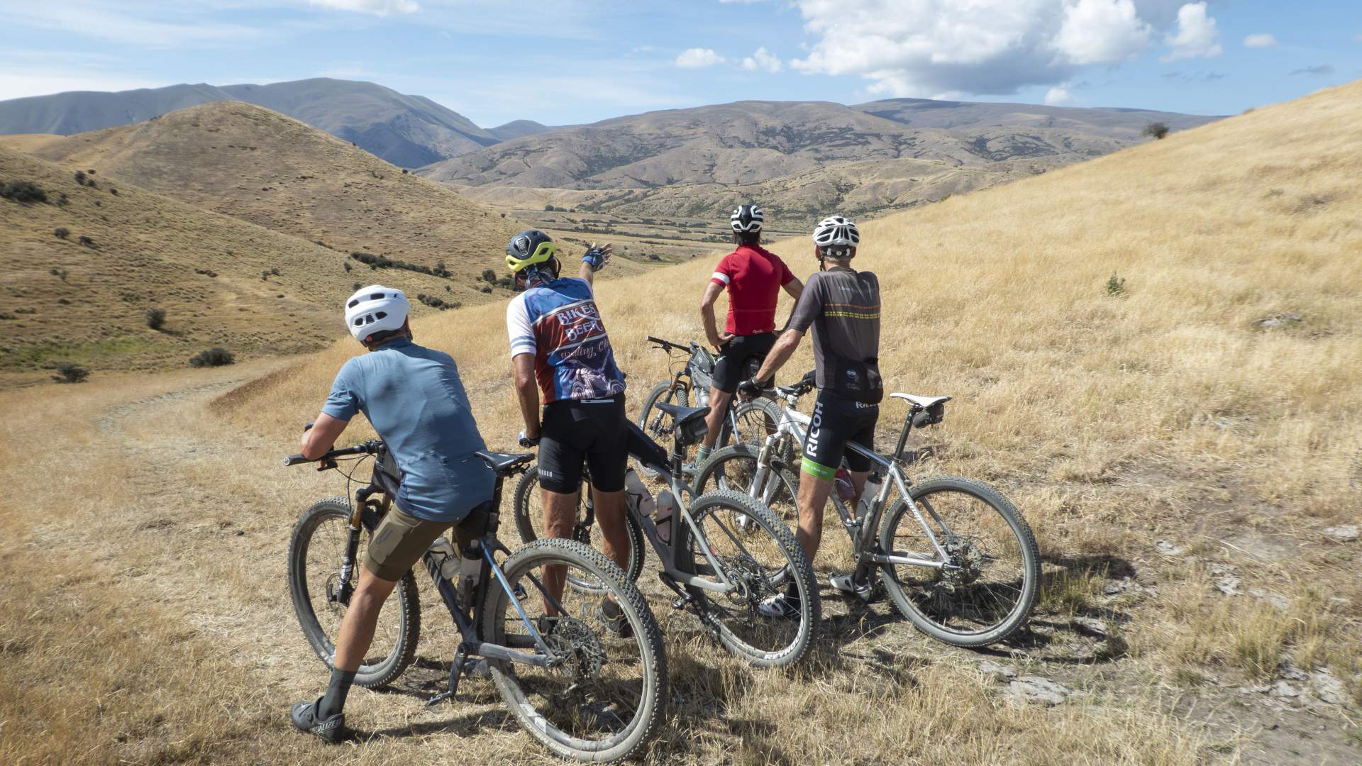
Route finding is generally easy, with DOC signs and orange poles marking the tracks, but taking a map is recommended.
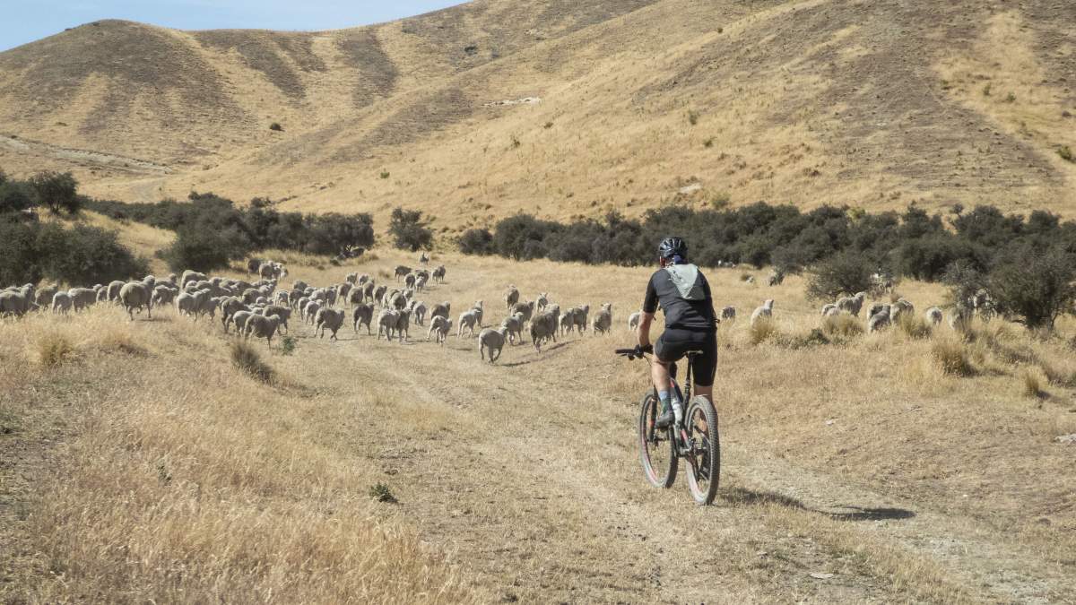
Expect to encounter livestock and respect private property when crossing public easements.
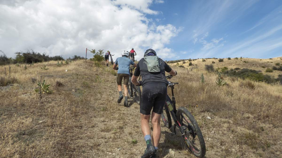
Most mere mortals will need to push the first section of McPhies Ridge Track... it's steep!
Cross the bridge over the Lindis River, take a break to enjoy some shade under the trees on the river bank, and maybe even have a quick dip to cool off…. Because there’s another hill coming….
From the Cluden Quarry car park there’s a solid climb back up to SH8 where you’ll turn left and continue up Cluden Hill on the main road. (Again, take care when riding on the road and be aware of traffic). Descend Cluden Hill and after about 4km look out for Phillips Road on the right. This is a concealed junction on the corner of SH8 so take extreme care when crossing the road.
Follow Phillips Road for a couple of kilometres before reconnecting with Deep Creek and Jolly Roads to retrace your steps from earlier. This option does add a few extra kilometres to your ride but is much safer and preferable to riding along SH8.
The Tarras Country Café closes at 3pm, so depending on your ride time, there’s another golden opportunity for a slice of carrot cake… You’ll deserve it!
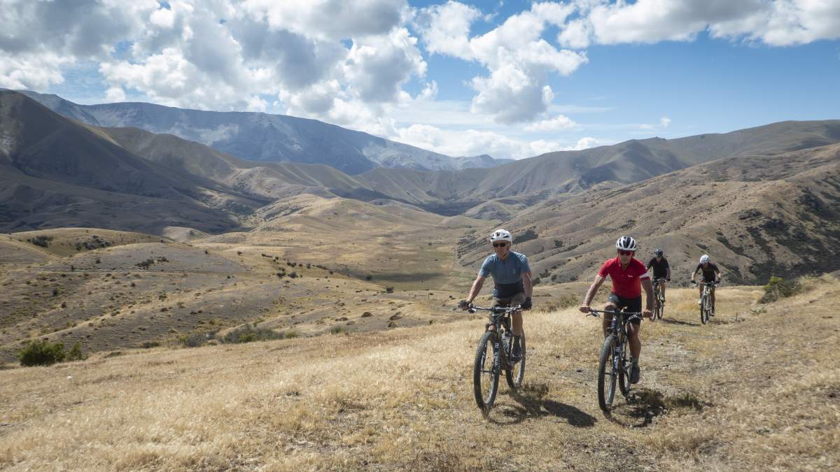
After the initial climb onto the ridgeline, McPhies Ridge Track undulates across the landscape.
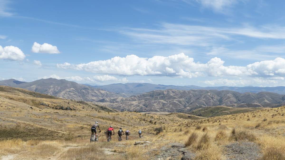
There are some long, fast descents along the ridgeline.
Need to Know
This route is only suitable for fit, confident, and experienced intermediate or advanced riders. Whilst the trails described are generally well formed and easy to follow, they are rough in places, and you will almost certainly need to push your bike up some of the hills.
For more details check out DOC’s Lindis Pass Tracks information or have a look at the NZ Topo Map. Downloading the Topo50 app for your phone is also recommended, as it can be used offline and the GPS feature is an excellent tool to help with wayfinding.
Important note: the distances and altitude gains provided are only estimates and ride times will vary depending on fitness and weather conditions.
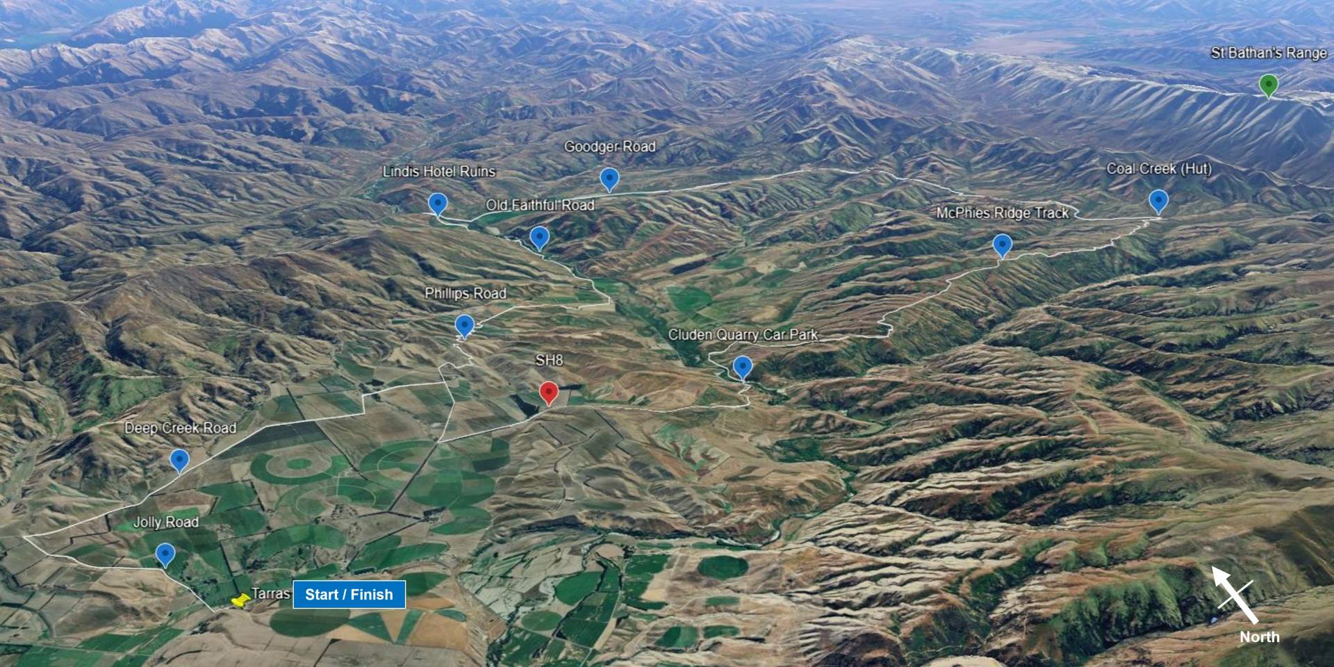
3D map from Google Earth of the described route.
The route is not suited to gravel bikes, and if you’re planning to ride an eBike make sure that you have sufficient range in your battery. Be aware that you’ll need to cross the Lindis River and that there may be other creek crossings to negotiate – eBikes are heavy to carry!
Very hot and dry conditions are common in summer - it was 34°C when this story was written - so carry plenty of water. There is no water on the ridges and any creek water is open to livestock so should be treated. Wear adequate sun protection as there is little or no shade or shelter from the elements.
Alpine conditions may be experienced at any time of the year, and the high-country is subject to snow and ice during winter months. Check the forecast and carry warm and waterproof clothing as required. The terrain is also exposed and remote, so you’ll need to be fully independent and carry a toolkit and first aid kit. Wearing a good quality helmet is also mandatory. With no cell phone coverage, a personal locator beacon in case of emergencies is a good idea.
DOC describe the track grades as intermediate to advanced as below, and these were accurate for the route described (as of January 2025).
- Intermediate – steep slopes and/or avoidable obstacles, possibly on narrow track and/or with poor traction. There may be exposure at track’s outer edge.
- Advanced – a mixture of long, steep climbs, narrow track, poor traction, and difficult obstacles to avoid or jump over. Generally exposed at the track’s outer edge. Most riders will find some sections easier to walk.
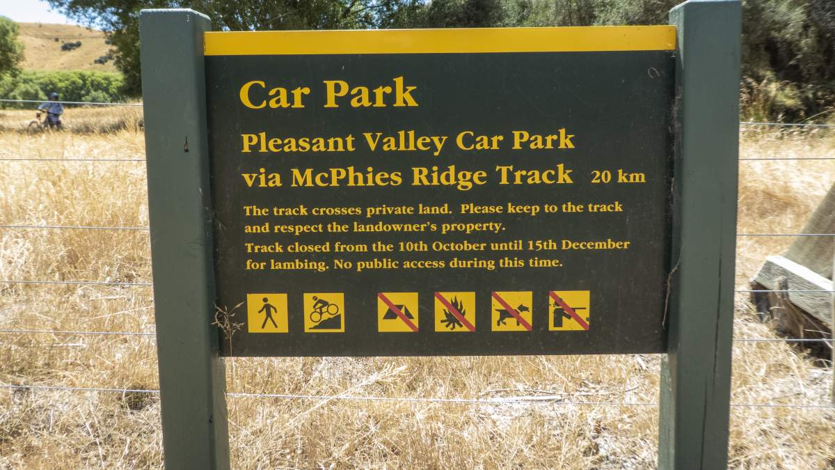
DOC signage is generally good across most of the track network.
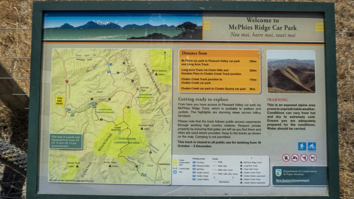
However, some route finding and navigation may be required.
Always follow the Outdoor Safety Code
- Plan your trip
- Tell someone your plans
- Be aware of the weather
- Know your limits
- Take sufficient supplies
Visit Adventure Smart for more information.

Related Stories
-

Otago's Signature Tracks
Best short rides on the Queenstown Trails
Read more about Otago's Signature Tracks -

Reclaiming Wild
Two gutsy girls on an epic bikepacking mission to celebrate their 50th birthdays.
Read more about Reclaiming Wild -

-

In Pictures - The Shotover Gorge Trail
Images of the new Kimi-ākau | Shotover Gorge Trail in Queenstown
Read more about In Pictures - The Shotover Gorge Trail -

Otago's Classic Hits
Highlights of the Otago Central Rail Trail and Lake Dunstan Trail
Read more about Otago's Classic Hits -

Otago’s Greatest Hits
Highlights of the Clutha Gold and Roxburgh Gorge Trails
Read more about Otago’s Greatest Hits -

Otago Central Rail Trail Pub Guide
A guide to the pubs along the Otago Central Rail Trail
Read more about Otago Central Rail Trail Pub Guide

