Backcountry For Beginners
A Slow Race Along the Hawkdun Range
Surrounding the five Great Rides in Otago, there’s a myriad of quiet gravel roads offering a vast network of backcountry mountain biking complemented by the supporting infrastructure of accommodation, cafes, and bike shops available along the main cycle trails.
If you haven’t ventured far off the beaten track before, or you’re new to riding in the backcountry, then the Mount Ida Water Race in the Oteake Conservation Park offers an easy 32km circuit and is the ideal mountain bike ride for beginners.
- Photography by Geoff Marks
The Oteake Conservation Park lies just north of the Otago Central Rail Trail and can be easily accessed from trail towns like Oturehua, Wedderburn, Ranfurly or Naseby. Oteake comprises 67,000ha of mountainous high country, tussock plateaus, scree slopes, shrubland and wetlands. The park offers spectacular backcountry mountain biking opportunities as well as 4WD’ing, tramping, fishing, horse riding and backcountry skiing in the winter.
Rule number one when riding in the backcountry is to be prepared and expect the unexpected. The weather can change quickly in the Otago high country, and you need to be fully self-sufficient with all the clothing, food, water, and tools you might need for a day in the hills.
Case in point – when we arrived in Naseby one day at the end of November to stay the night before riding in the Oteake, it snowed. Heavily. When we woke up early the next morning there was an inch of frost on the car roof and the doors were frozen shut.
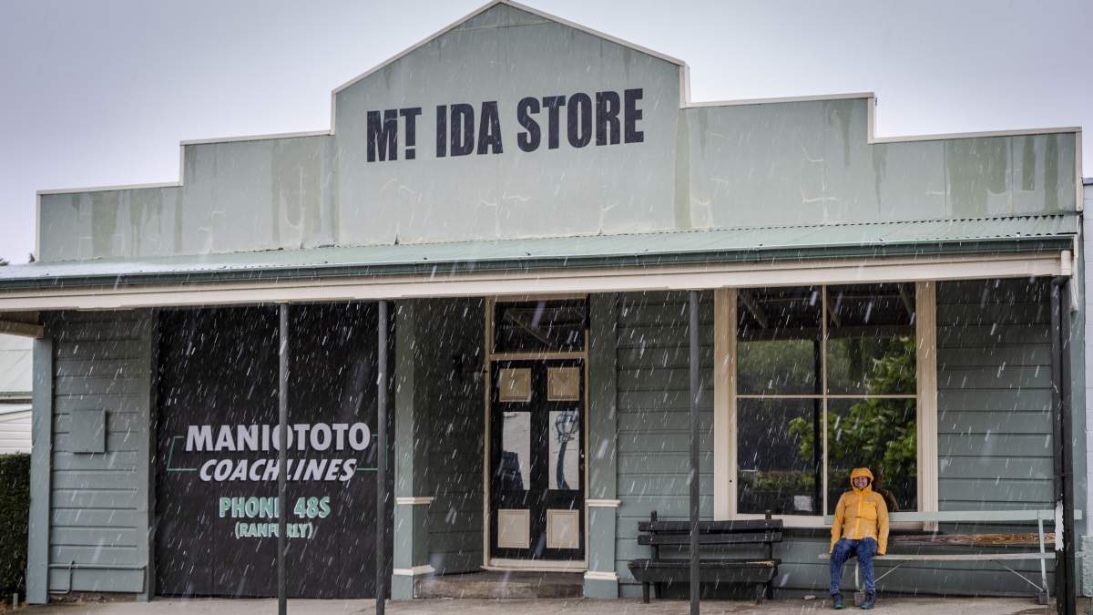
Expect the unexpected! Summer snow in Naseby.
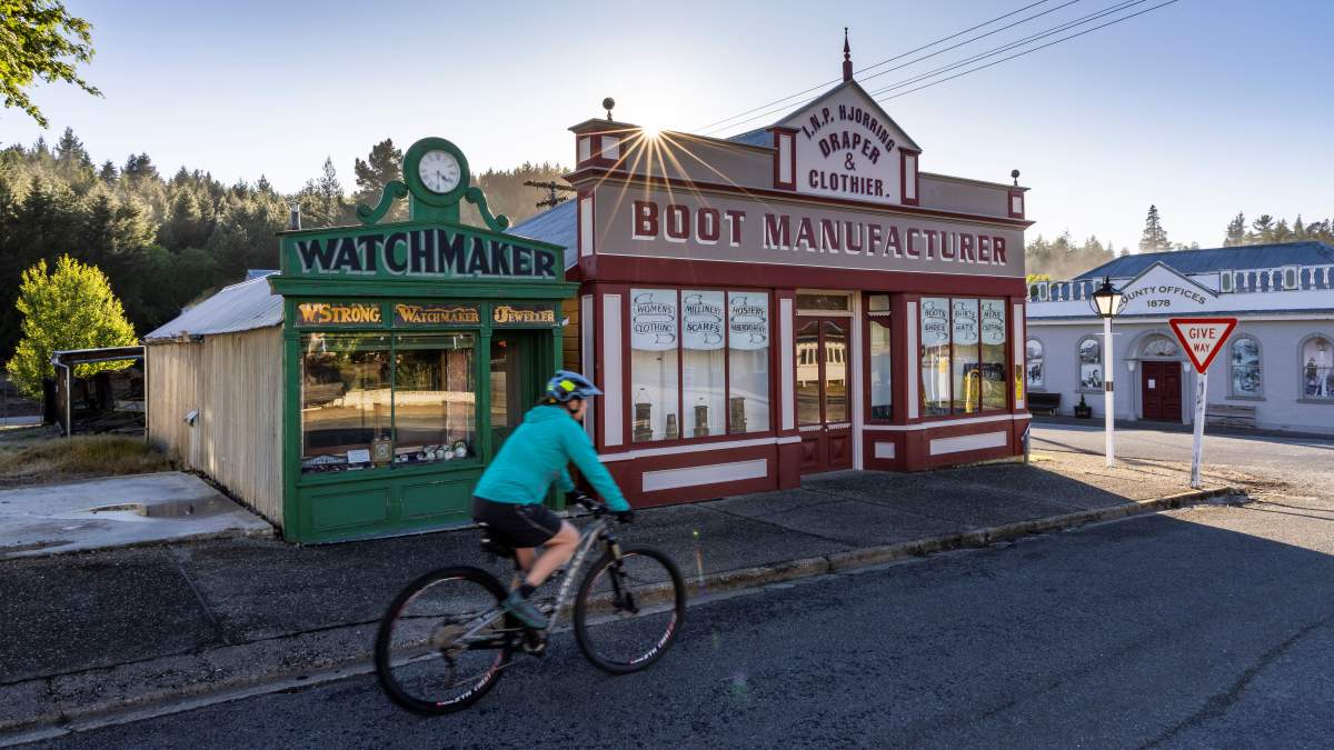
What a difference a day makes... Sunrise in Naseby 12-hours after the snowfall.
Bear in mind that this was supposedly the start of the hot Central summer!
But despite the freezing start on this particular trip, by lunchtime the temperature was 25°C. A classic example of four seasons in one day and what you should plan for on a backcountry ride in Central Otago.

Always follow the Outdoor Safety Code
- Plan your trip
- Tell someone your plans
- Be aware of the weather
- Know your limits
- Take sufficient supplies
Visit Adventure Smart for more information.
Riding the Mount Ida Water Race Track
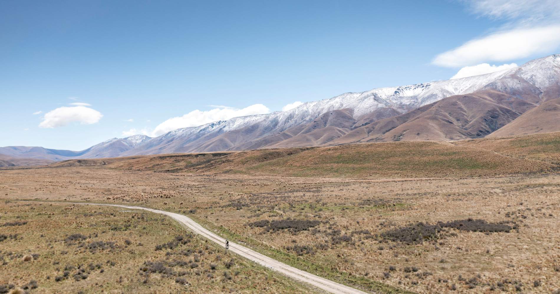
The Mount Ida Water Race Track is well-formed with a gentle gradient which makes it ideal for beginners and is also suitable for e-bikes as well as hiking. The circuit described below is 32km with a total of only 175m vertical ascent. In other words, this is a pretty flat route. What’s more, the landscape and views along the trail are some of the most spectacular in Central Otago with the track meandering along the lower slopes of the imposing Hawkdun Range.
Whilst you can cycle out to the Mount Ida Water Race Track via a network of different gravel roads linked to the Rail Trail, for beginner’s driving a car out to Pierces Gorge is the simplest option and makes for a superb half day ride. Biking to the water race from the Rail Trail at Oturehua via Hills Creek Road and Home Hills Runs Road is very achievable but adds another 30km (return) to your ride – albeit on flat or gently undulating gravel roads.
(Note: access to the Mt Ida Water Race via Home Hills Runs Road is on an unsealed road with one creek to ford, which can be impassible after heavy rain. In summer and autumn, the road is generally suitable for 2WD vehicles).
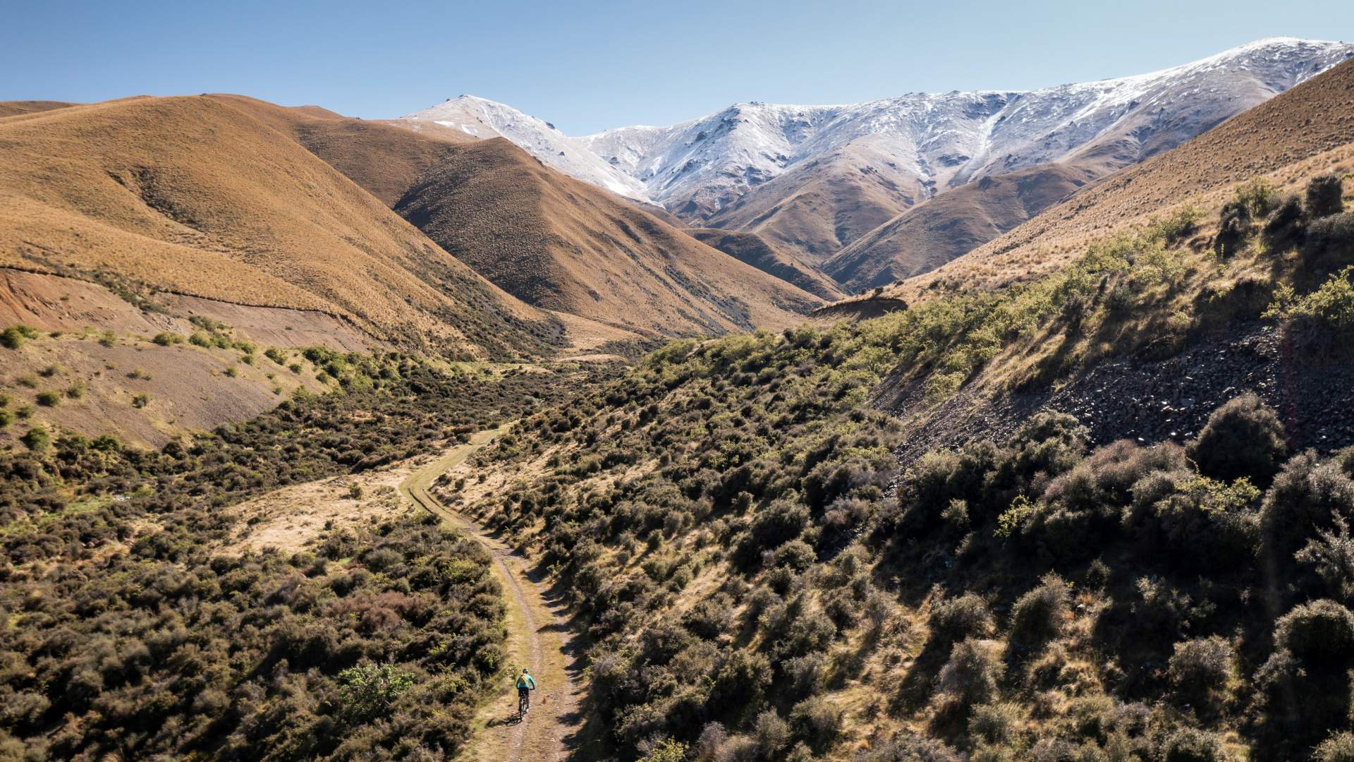
A short, steady climb up Pierces Gorge leads to the start of the Mt Ida Water Race.
Beginning at a small car park with a Department of Conservation sign at Pierces Gorge you can ride the described loop in a clockwise or anticlockwise direction. The prevailing wind direction on the day will probably dictate which way you decide to ride, although heading in a clockwise direction (towards Falls Dam) does begin with a short, sharp climb.
This description follows an anti-clockwise direction which begins with the gentle 1km ride up Pierces Gorge 4WD track to meet the start of the Mt Ida Water Race Track.
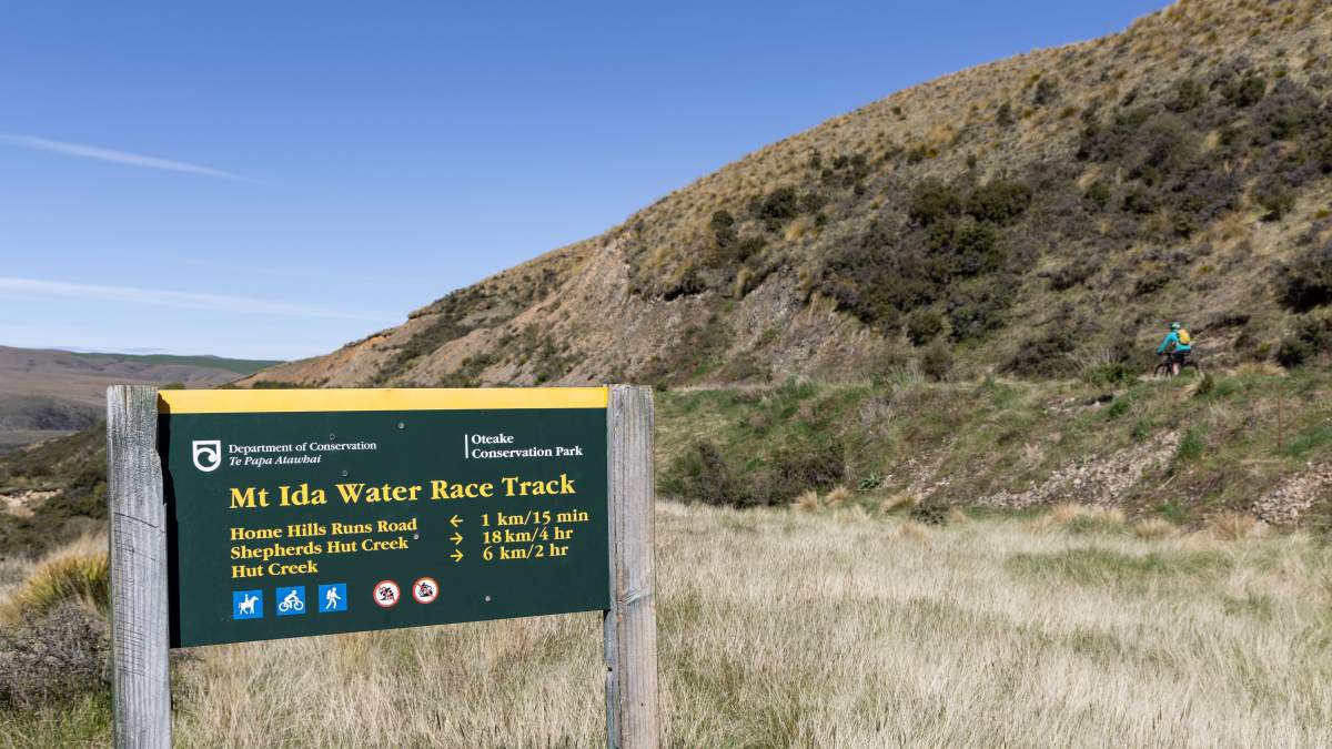
The Mt Ida Water Race Track is well signed for walkers, horse riders and mountain bikers.
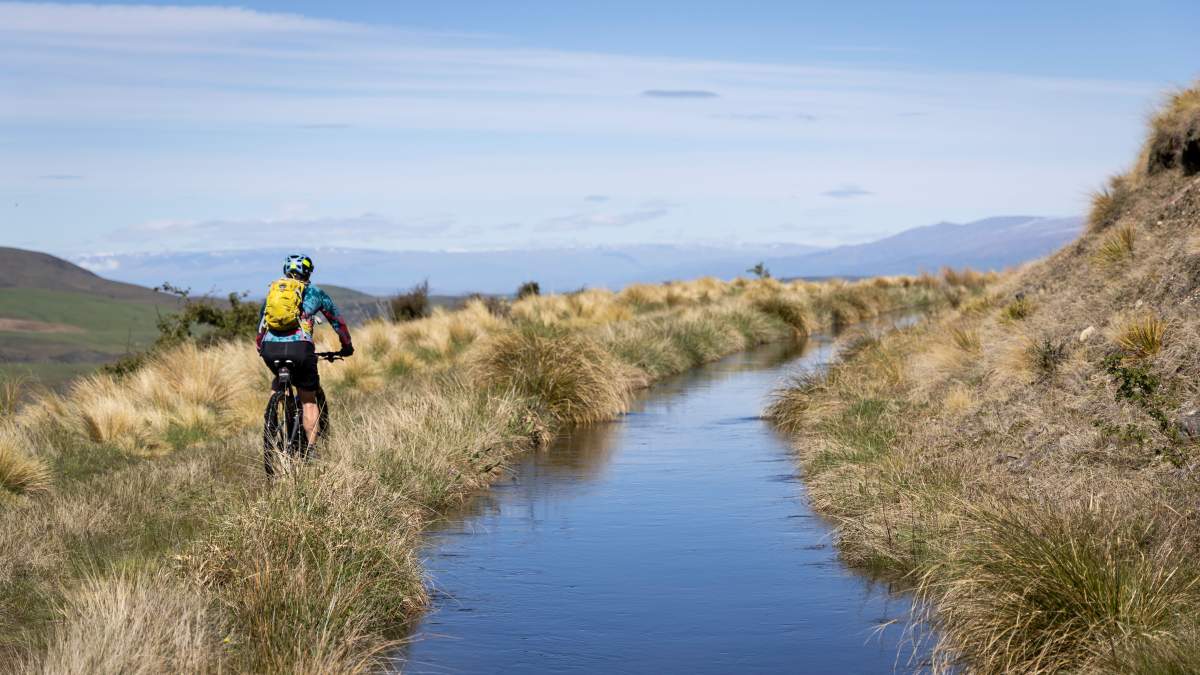
The track is well formed and an easy gradient, suitable for beginners and e-bikes.
Once connected to the water race, follow the track northwards for 18km to Shepherd’s Hut Creek Track. The track is well formed and is an easy (flat) gradient but it’s mostly on a grass surface which can make for slightly heavy going. The track follows the contours of the lower Hawkdun Range and the views of the Hawkduns and across the Manuherikia River valley to the St Bathans Range are sublime.
At Shepherd’s Hut Creek Track ride down the hill in a westerly direction towards the Manuherikia River and connect back on to Home Hills Runs Road. Follow the road downstream in a southerly direction to circulate back to the car park at Pierces Gorge. A short detour (look for the DOC sign) to Falls Dam is a worthy side trip.
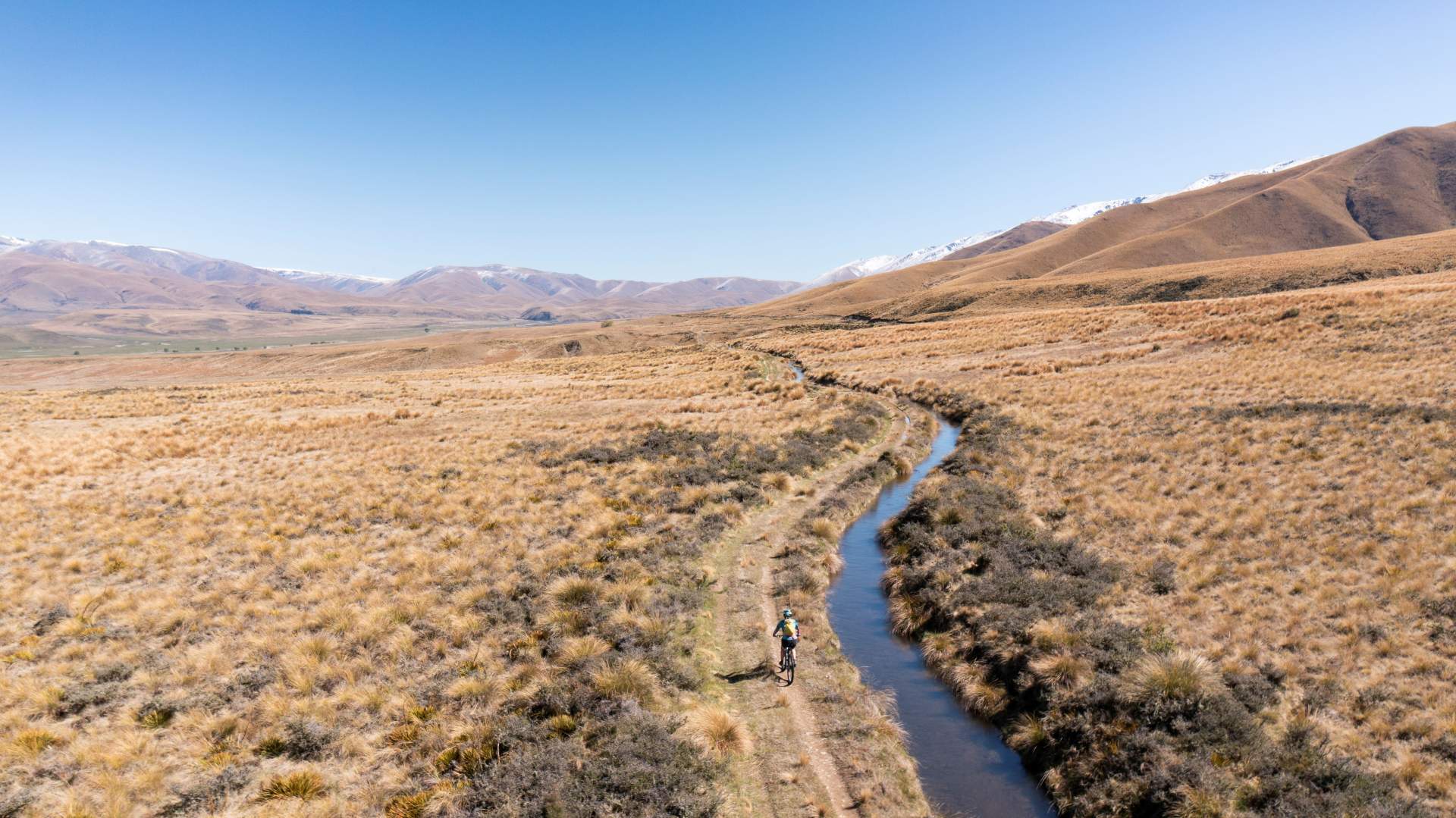
Expansive views of the Central Otago highcountry along the Mt Ida Water Race.
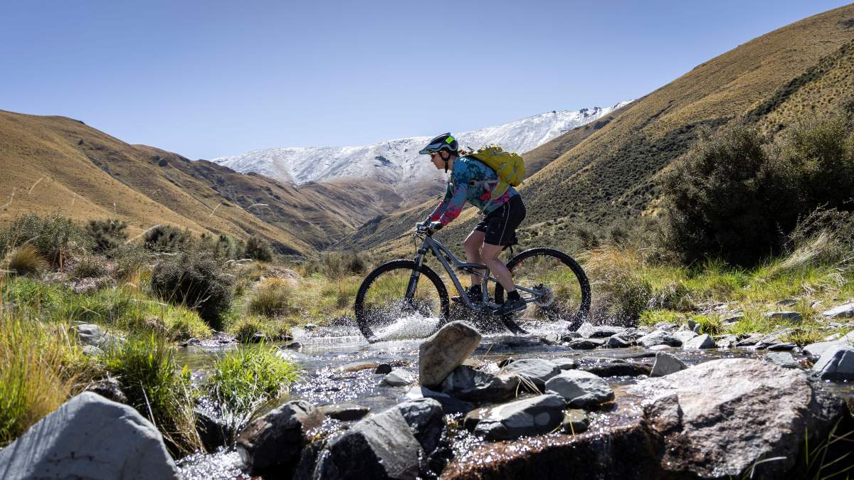
There are a few shallow creek crossings.
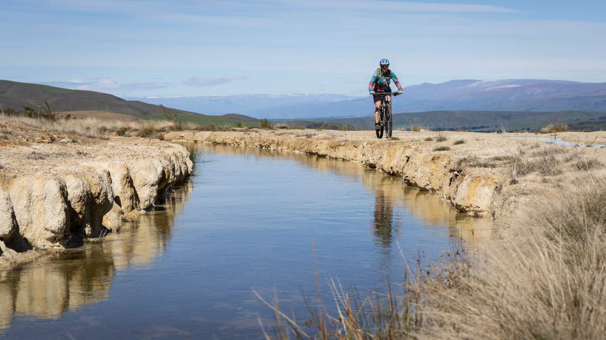
The Mt Ida Water Race was originally 108km long!
The circuit will take most average riders around 2-3 hours to complete, but on a nice day, take a picnic and take your time.
The views on this particular race demand that it’s ridden slowly!
A SHORT HISTORY OF MOUNT IDA WATER RACE
Gold mining was the driver for the construction of Central Otago’s first water races. As the more easily found alluvial gold was won, mining quickly evolved beyond panning to new hydraulic sluicing and quartz gold mining techniques, but these required masses of water. This demand for water triggered the frenzied construction of water races that tapped, re-routed and dammed countless creeks and streams.
As gold mining in Naseby expanded it became increasingly difficult to dispose of the tailings, because of the lack of flushing water and the flat land running out from the mining area to the Maniototo plain. Significantly more water was required to flush the accumulated and future tailings down the sludge channel. It was deemed that the Manuherikia River would provide the most reliable supply, although this was a very expensive option and the Mt Ida Water Race cost in excess of $20,000 to build.
The 108km Mount Ida Water Race began construction in 1873 to supply water to the Naseby gold mining area, and still supplies water to Naseby township and farmers in the area today.
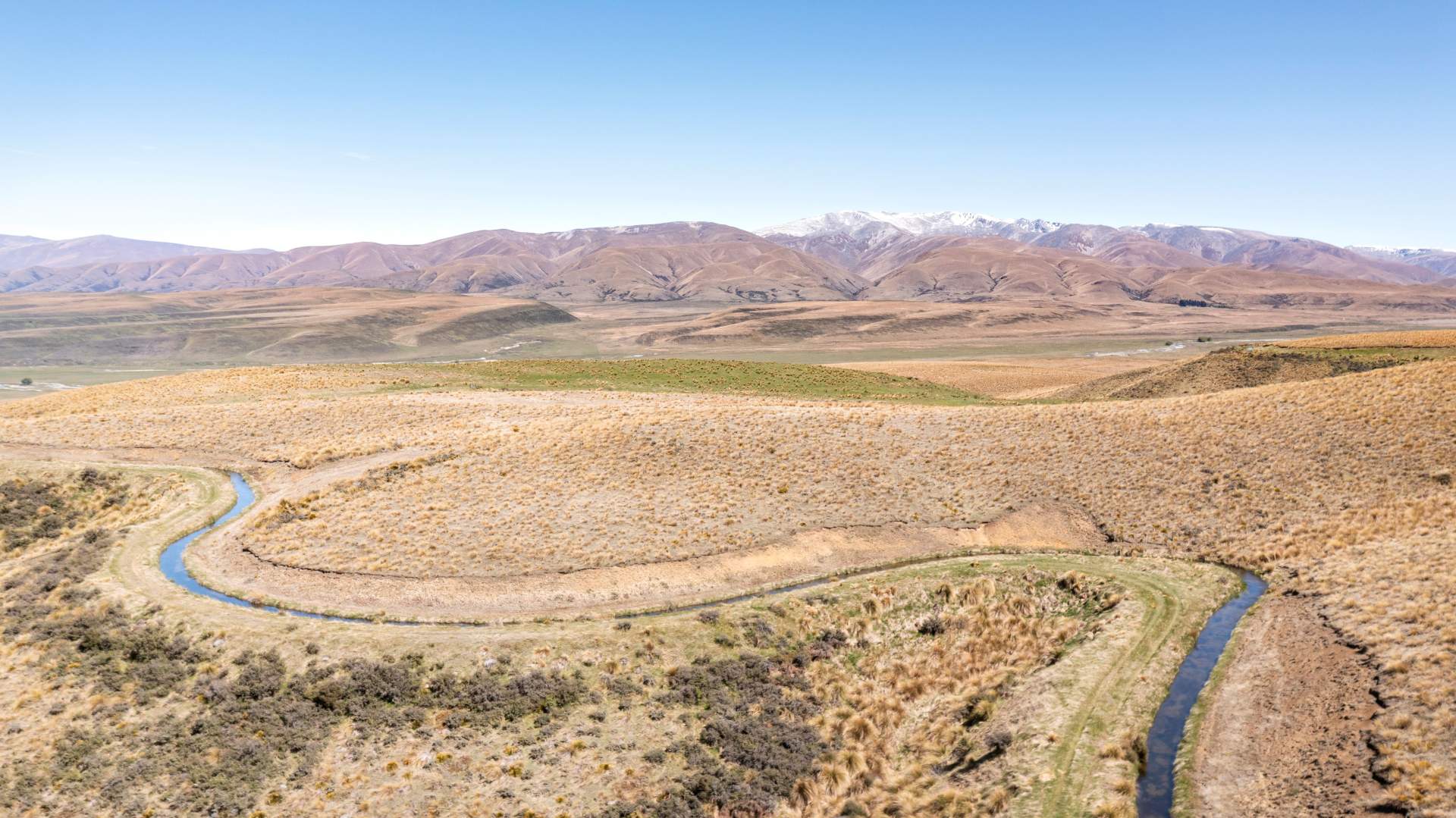
The Mt Ida Water Race snakes along the contours of the lower Hawkdun Range, with the St Bathans Range in the distance.
The water race sidles the Hawkdun Range from the tributaries of the Manuherikia River for 108km to Naseby. It starts at an altitude of 850m and delivers water at 634m in Naseby. The race collects water from numerous small mountain catchments along the Hawkdun and Ida Ranges.
By 1920 the returns from gold mining had dropped off, and the upper part of the Mt Ida race was abandoned. However, with low rainfall and little stream flow in this part of Central Otago many farms were without adequate water for stock. With a growing demand for water for both stock and irrigation, and the relatively small supply of water available in summer, the Mt Ida Water Race was repurposed for the irrigation of pasture and horticulture.
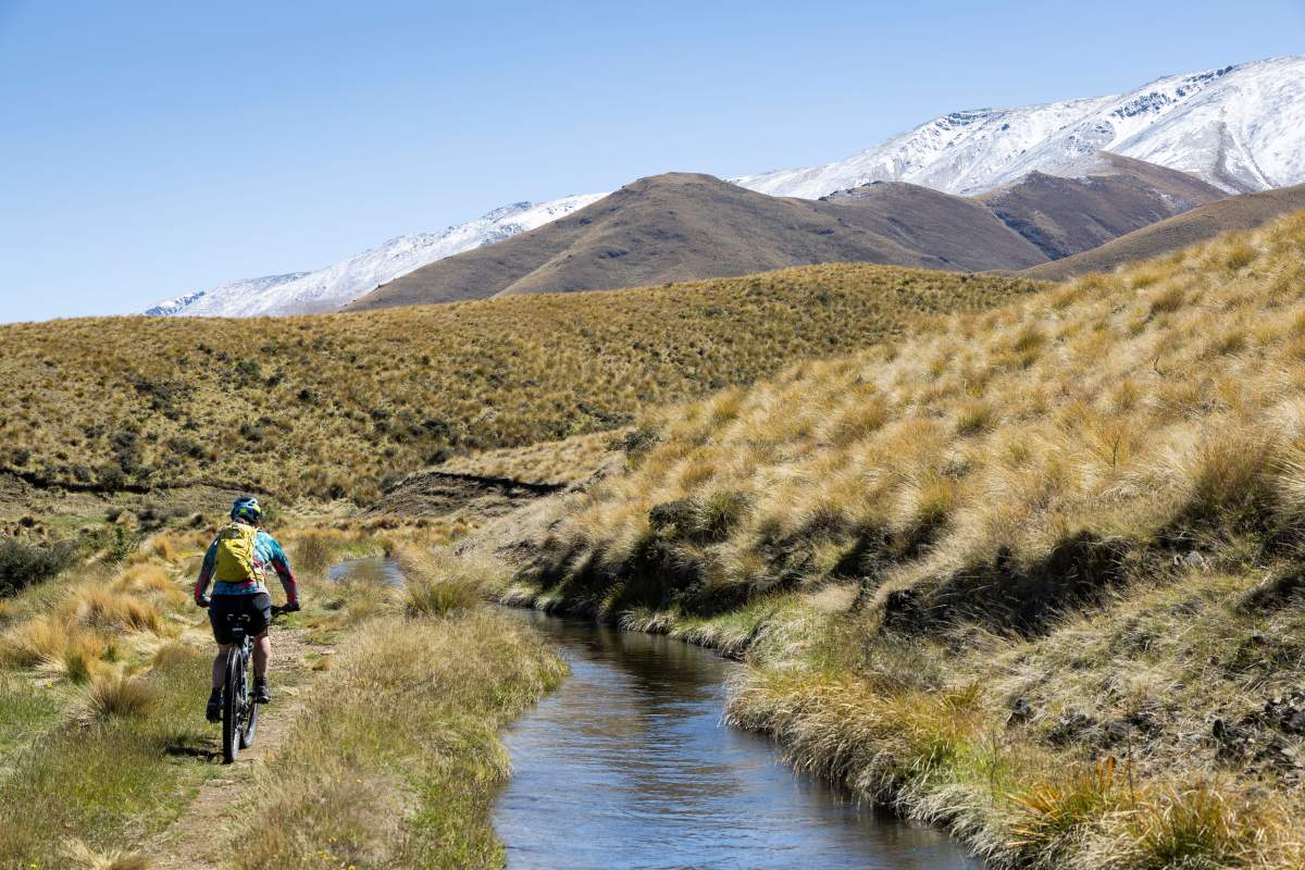
Iconic Central Otago landscapes in the Oteake Conservation Park.
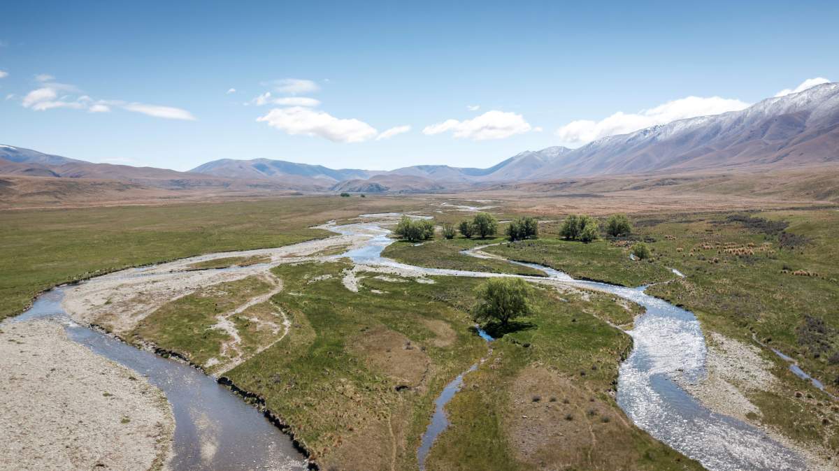
The braids of the Manuherikia River, the main water source for the water race.
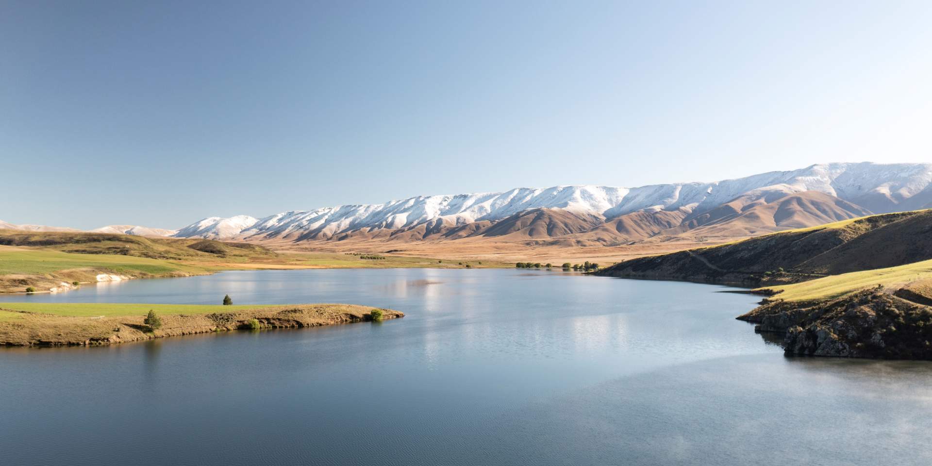
Falls Dam serves as a small hydroelectric station as well as reservoir for irrigation and is a worthy short side trip (Hawkdun Range in background).
In the 1980s access to the race was improved over most of its length by widening the downhill berm providing 4WD access for maintenance and a great walking or cycling track. Today, the race is owned and operated by the Hawkdun Idaburn Irrigation Company Limited that’s owned by neighbouring famers / shareholders with an agreement for the supply of water for irrigation. The race also supplies domestic water for Naseby, back up supply for the township of Ranfurly, water supply for the curling and ice-skating rinks, firefighting supplies for the forestry area and water for stock and other farming operations.
GETTING THERE
Access to the Mt Ida Water Race as described in this article is via Home Hills Runs Road, off SH85 between Becks and Wedderburn. See maps below or click here to view on the NZ Topo Map website.
There are several access points to other tracks on both the Otago and Canterbury sides of the Oteake Cnservation Park - with car parks at Hawkdun Runs Road, Falls Dam, Home Hills Run Road, Mt Buster Road in the Maniototo, and on Broken Hut Road from the Waitaki Valley.
Much of the public access into the park is along easements crossing private land. Please respect this by driving carefully, keeping to tracks and roads, and leaving gates as you find them.
The condition of these access roads will vary depending on the season and/or recent weather. Generally, access is suitable for 2WD vehicle during the summer months, but please check road conditions before you set out, especially after weather events.
Access to Mt Ida Water Race via Home Hills Runs Road off SH85. (Maps sourced from LINZ - Crown Copyright Reserved).
The Mt Ida Water Race circuit - the pin marks the small car park at Pierces Gorge.
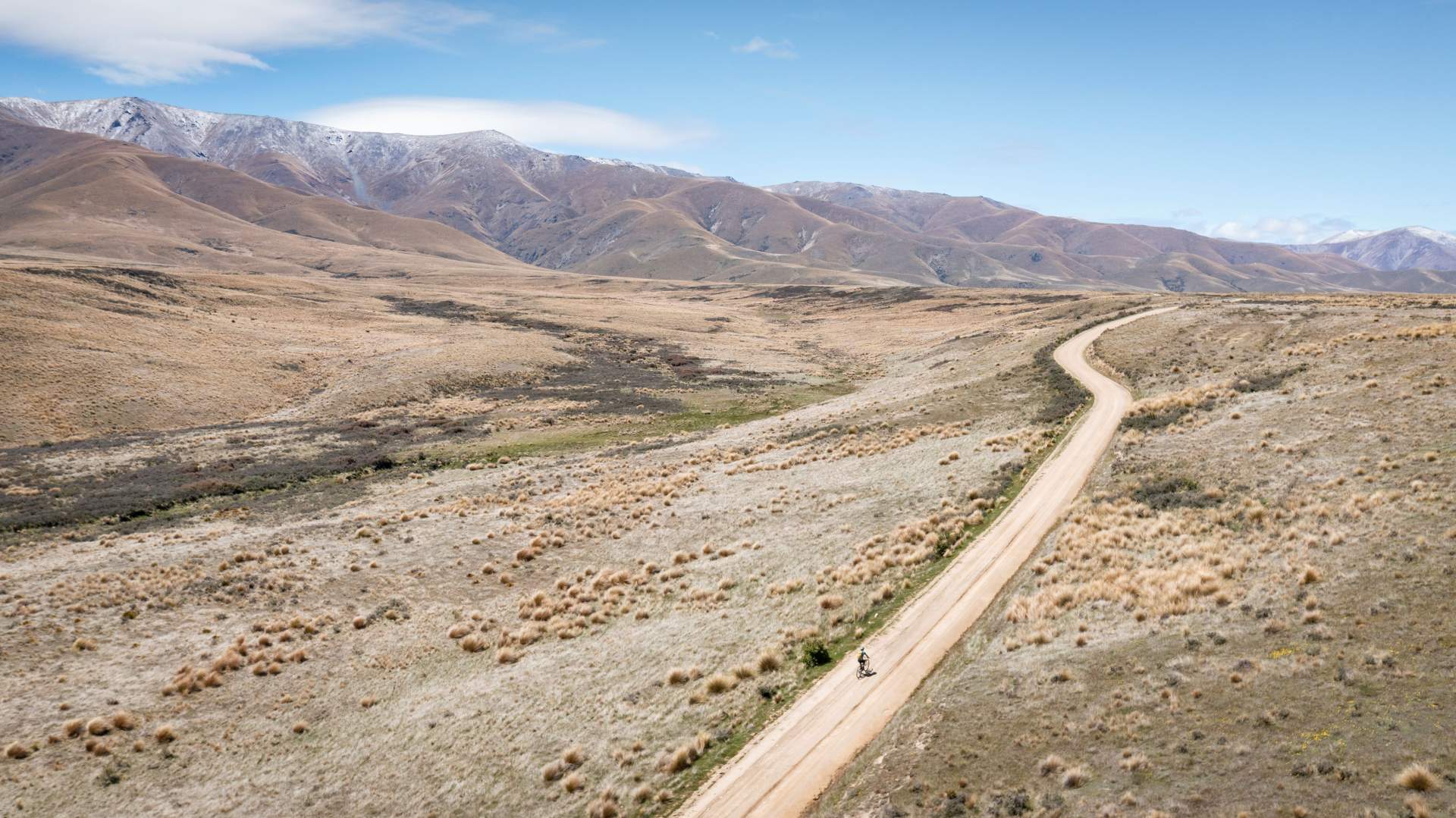
Home stretch - a gentle climb along Home Hills Runs Road completes the circuit.

Related Stories
-

Otago's Signature Tracks
Best short rides on the Queenstown Trails
Read more about Otago's Signature Tracks -

Otago's Classic Hits
Highlights of the Otago Central Rail Trail and Lake Dunstan Trail
Read more about Otago's Classic Hits -

Otago’s Greatest Hits
Highlights of the Clutha Gold and Roxburgh Gorge Trails
Read more about Otago’s Greatest Hits -

Otago Central Rail Trail Pub Guide
A guide to the pubs along the Otago Central Rail Trail
Read more about Otago Central Rail Trail Pub Guide -

25 Years On Track
The old and the new - celebrating 25 years of the Otago Central Rail Trail
Read more about 25 Years On Track -

Beginners Guide to the Otago Central Rail Trail
A beginner's guide to the Otago Central Rail Trail
Read more about Beginners Guide to the Otago Central Rail Trail

