5 days
Multi-Day Rides
An iconic traverse of Otago from Lake Whakatipu in Queenstown to Lake Waihola.

Lake to Lake
This 5-day cycle tour itinerary traverses some of New Zealand’s most iconic landscapes, from Lake Whakatipu and the spectacular Southern Alps of Queenstown, through Central Otago’s dramatic gorges, to meandering along the mighty Mata-Au | Clutha River and culminating at Lake Waihola on the east coast.
It’s a 250km journey of discovery along four of New Zealand’s best Great Rides (purpose-built cycle trails) that incorporates awe-inspiring scenery, regions rich in history and heritage, opportunities to indulge in fabulous local food and wine, and of course some of New Zealand’s best bike riding.
- Photography by Geoff Marks
DAY 1
Queenstown to Cromwell
Riding Distance 40km to 45km | Grade 2
Exploring Queenstown by bike is the best way to experience the area and the Queenstown Trails provide a diverse 140km network of world-class cycle trails. It’s easy to stitch together a ride based on your preferred distance or duration - check out the map here - but to get you started, here are two great day ride options.
Option 1: “Mountains and Rivers” | 43km | Grade 2
For a true “Lake to Lake” experience, begin your journey with breakfast or coffee at one of Queenstown’s great cafes on the Whakatipu lakefront.
Then, from central Queenstown follow the shared pathway along Gorge Road for 5.7km to Arthur’s Point to connect with the new Wharehuanui Trail, a stunning 13km scenic ride along the base of the mountains to Millbrook Resort. It’s then a short 2km ride on the Countryside Trail to Arrowtown.
Either Millbrook Resort or Arrowtown are perfect stops for morning coffee or lunch.
From Arrowtown follow the Arrow River Bridges Trail (13.6km) and then join the Gibbston River Trail (8.7km) at the iconic Kawarau “Bungy” Bridge. There are numerous cafes and restaurants at the wineries along the Gibbston River Trail, as well as plenty of opportunities for wine tasting.
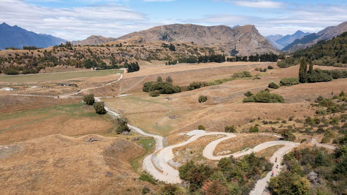
The Wharehuanui Trail connects Arthur's Point to Arrowtown.
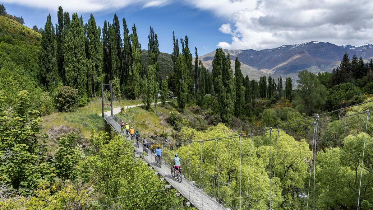
The Southern Discoveries Bridge on the Arrow River Bridges Trail.
Option 2 – “Lakes and Rivers” | 40km to 45km | Grade 2
Begin by following the Frankton Track from central Queenstown for approximately 6km along the shoreline of Lake Whakatipu to the Kawarau Falls Bridge and there connect to the Twin Rivers Trail. After 18.5km you’ll meet the Arrow River Bridges Trail and then have the option to turn left and head to Arrowtown or turn right and find a winery for a long lunch in Gibbston.
Getting to Cromwell
It’s recommended that a shuttle is used to transfer from the end of the Gibbston River Trail to Cromwell or Bannockburn, rather than riding through the Kawarau Gorge on the busy State Highway 6. However, from late 2025 the new Kawarau Gorge Trail (currently under construction) will be open allowing cyclists to ride between Queenstown and Cromwell on a spectacular 32km-long, purpose-built cycle trail.
There are numerous bike tour operators in both Queenstown and Cromwell / Central Otago which offer shuttle transfer services.
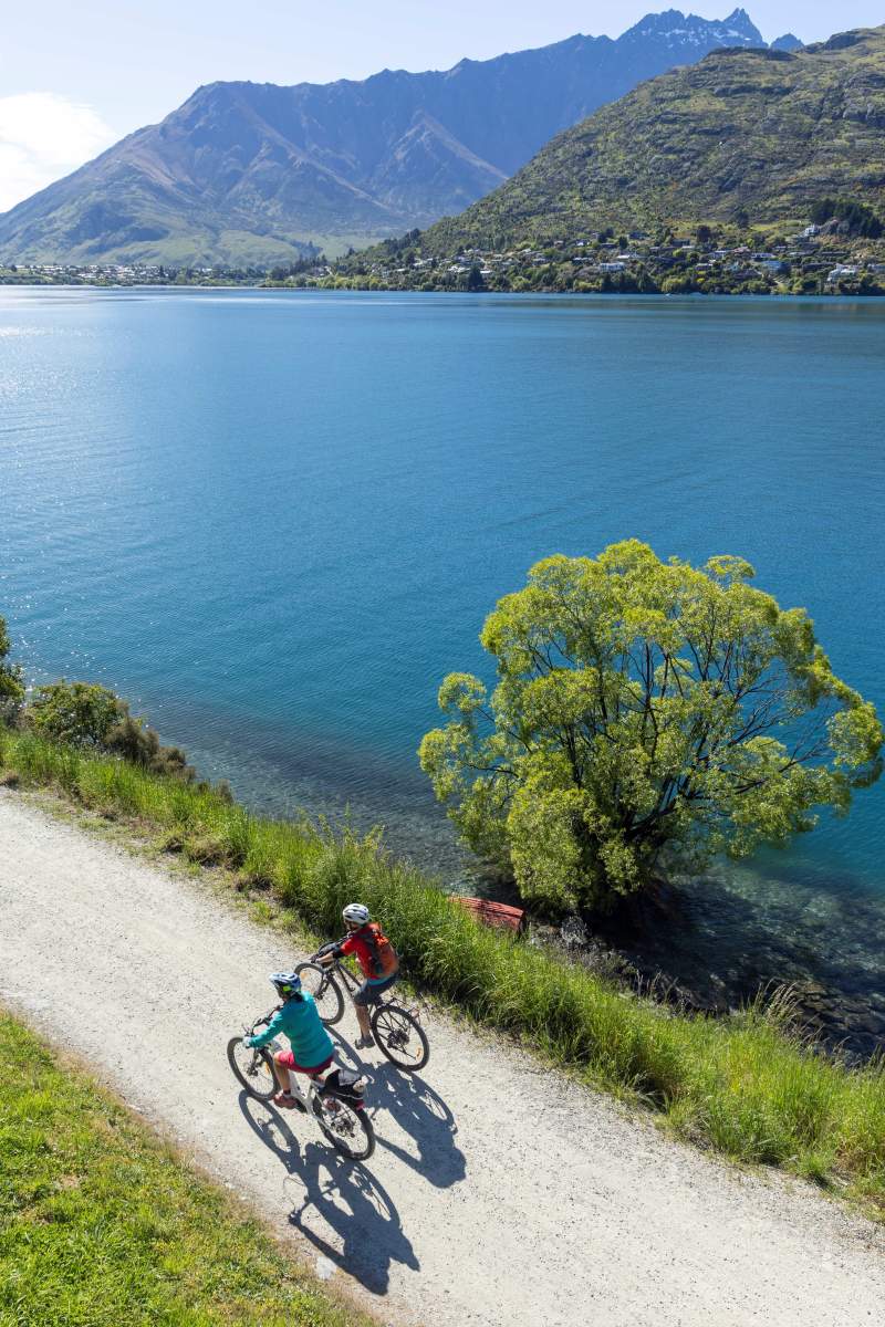
Riding around Lake Whakatipu in Queenstown.
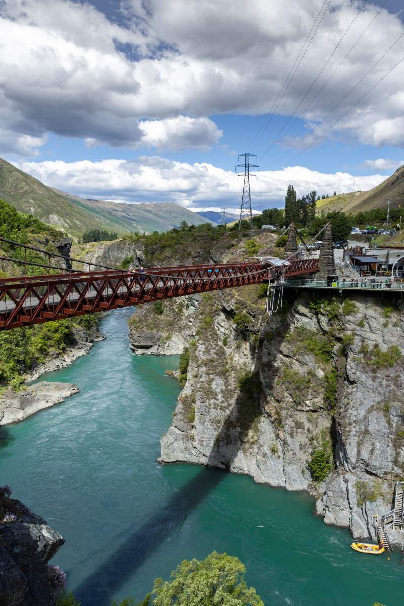
The iconic Kawarau "Bungy" Bridge on the Queenstown Trail network.
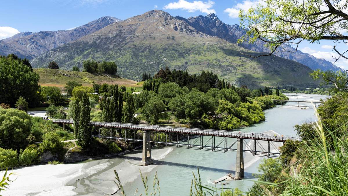
The historic Upper Shotover River Bridge, Queenstown.
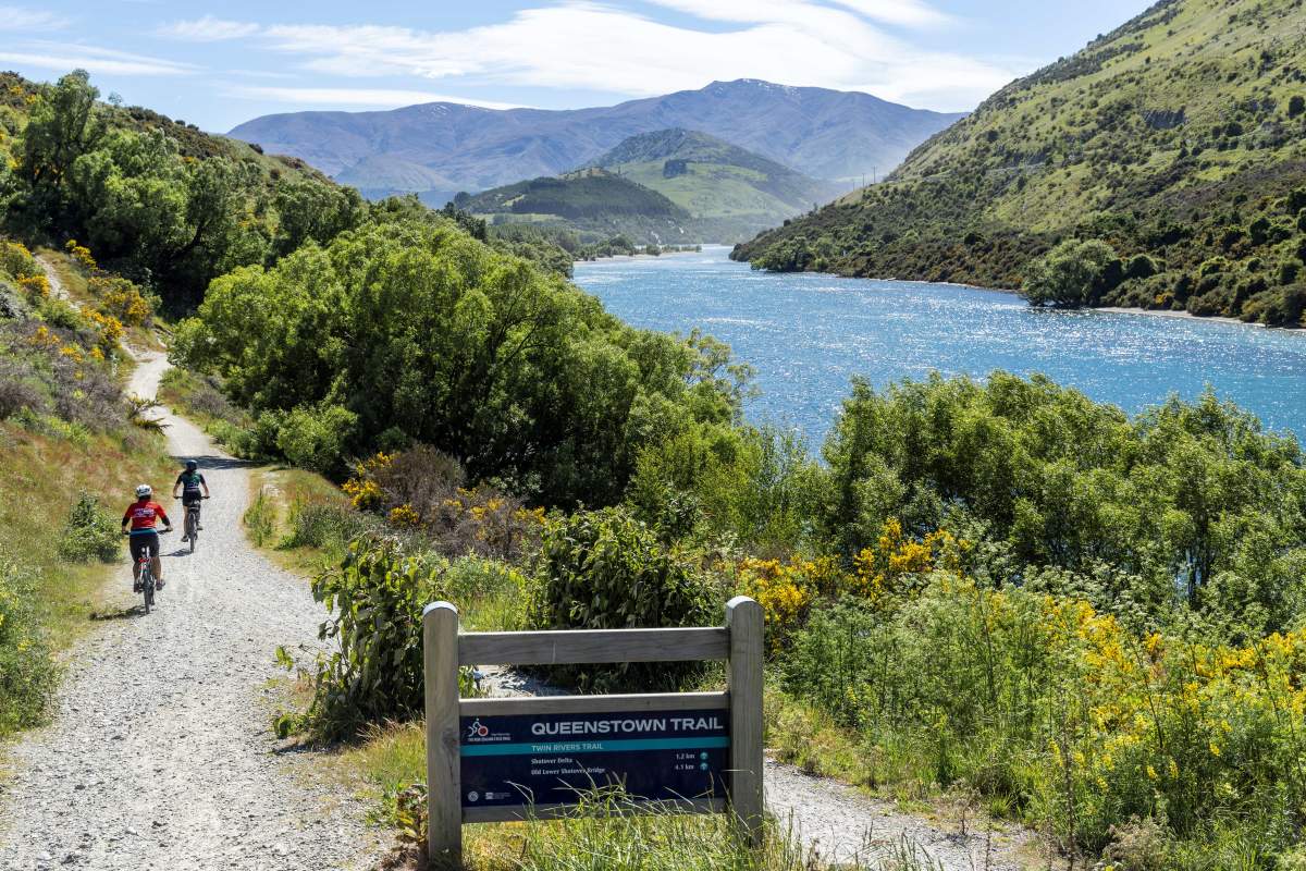
Meandering along the Twin Rivers Trail, Queenstown.
DAY 2
Cromwell to Clyde or Alexandra
Riding Distance 42km (to Clyde) 54km (to Alexandra) | Grade 2-3
For many, the Lake Dunstan Trail is a highlight of their Otago biking experience. However, the trail should not be underestimated as it includes some challenging grade 3 sections which are narrow and exposed in places, as well as some long climbs.
From Cromwell the trail initially follows Lake Dunstan to Cromwell Heritage Precinct and then along the Kawarau River to Bannockburn, one of New Zealand’s most prolific wine-growing regions and a superb place to sample the world-renowned pinot noir. From Bannockburn the trail enters the Cromwell Gorge where you’ll experience dramatic cantilevered boardwalks which hug sheer rock walls and the impressive Hugo Suspension Bridge. Be aware that once you’re in the gorge, there are no other entry or exit points to the trail. It is also very exposed with little shelter from the elements and you’ll need to carry plenty of water and snacks.
At the end of the trail is the Clyde Dam, the construction of which between 1977 - 1989 formed Lake Dunstan itself. A visit to the dam on a guided tour is fascinating. After crossing the Mata Au | Clutha River the trail finishes in the historic town of Clyde where there are plenty of options for refreshments and accommodation.
Either stay in Clyde or follow the easy Alexandra to Clyde River Track downstream for 12km along the Clutha River to Alexandra.
To properly prepare for the Lake Dunstan Trail it's recommended that you watch this this short video.
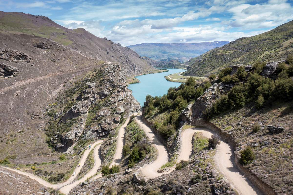
The technical switchbacks of the Cairnmuir Ladder on the Lake Dunstan Trail.
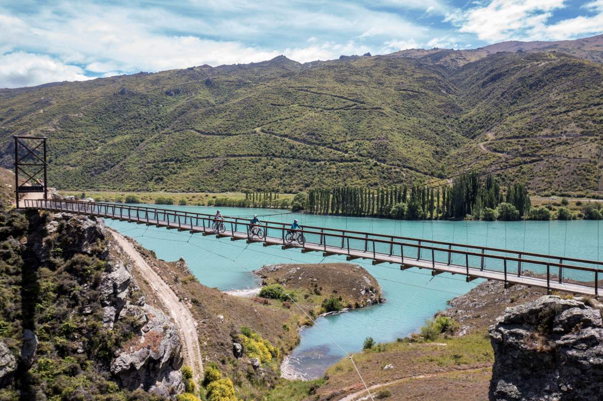
The impressive Hugo Suspension Bridge, Lake Dunstan Trail.
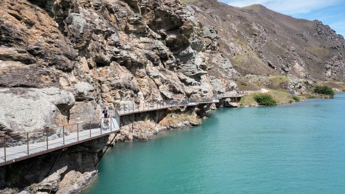
An engineering marvel... cantilevered walkways on the Lake Dunstan Trail.
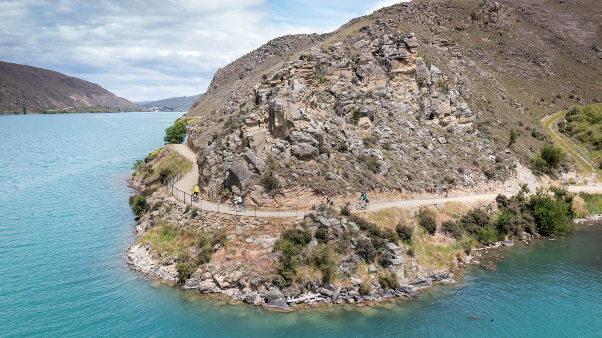
Between Cornish Point and Clyde Dam, there are no other entry / exit points to the trail.
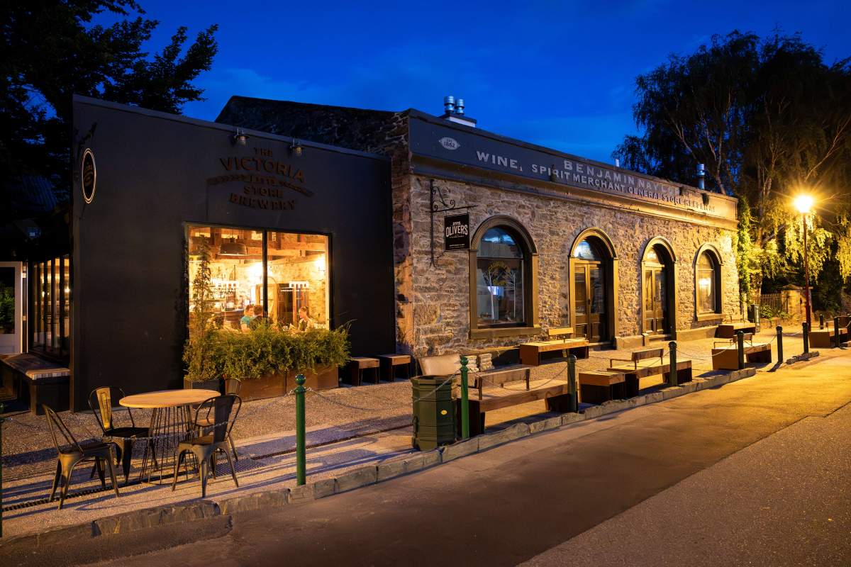
Oliver's Restaurant and Brewery in Clyde at the end of the trail.

Carrick Winery on the Lake Dunstan Trail is a great lunch stop.
DAY 3
Alexandra to Roxburgh
Riding Distance 21km plus 13km boat transfer | Grade 2-3
The Roxburgh Gorge Trail is ridden in two sections. The first part of the trail is a relatively easy grade 2 ride of 10km from Alexandra to Doctor’s Point. This section of trail currently ends here, and a jet-boat transfer is required to reconnect to the trail at Shingle Creek. (Bookings for the boat are essential). The commentary along the 13km boat trip provides a fascinating insight into the goldmining history of the area and is often a highlight of people’s ride.
At Shingle Creek it’s 11km to the Roxburgh Dam through wild and dramatic Central Otago landscapes. The trail is mostly grade 2, but towards the dam there is a steeper grade 3 section which includes some tricky switchbacks. Some people prefer to dismount and push their bikes here.
Accommodation is available in Lake Roxburgh at the end of the trail or alternatively cross the dam and connect to the Clutha Gold Trail at Commissioner’s Flat and an easy 9.4km ride to Roxburgh itself.
Alternate Route
From Clyde or Alexandra, you also have the option to follow the Otago Central Rail Trail for 152km to Middlemarch where it’s then possible to connect via a transfer to Waihola and on to the Clutha Gold Trail for a full circumnavigation of Otago.
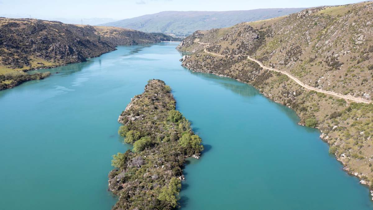
The Roxburgh Gorge has been called New Zealand's "Grand Canyon".
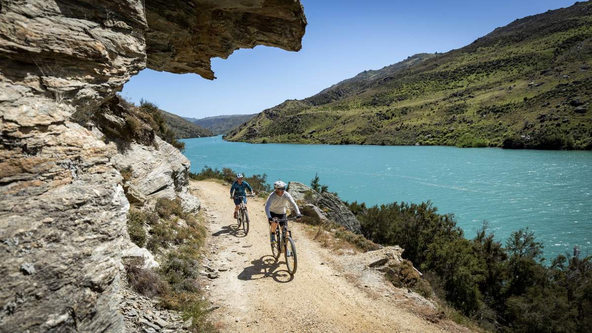
Dramatic landscapes along the Roxburgh Gorge Trail.
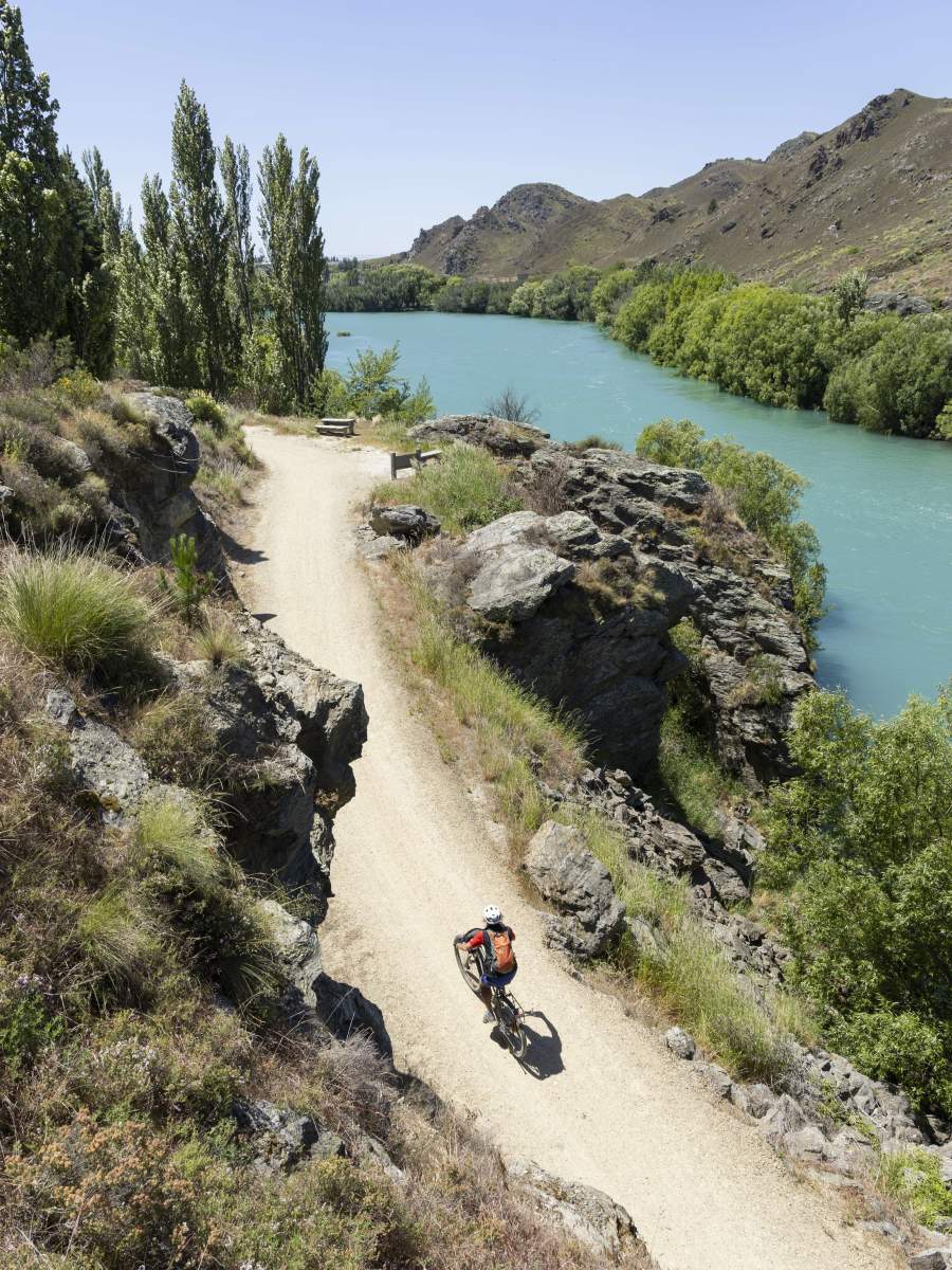
The Alexandra to Doctor's Point section is a relatively easy grade 2 trail.
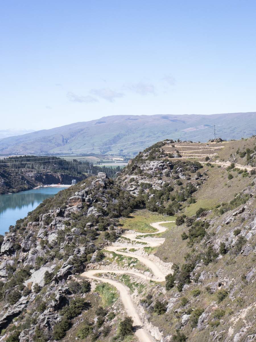
However, there are some trickier grade 3 sections at the Roxburgh Dam end of the track.
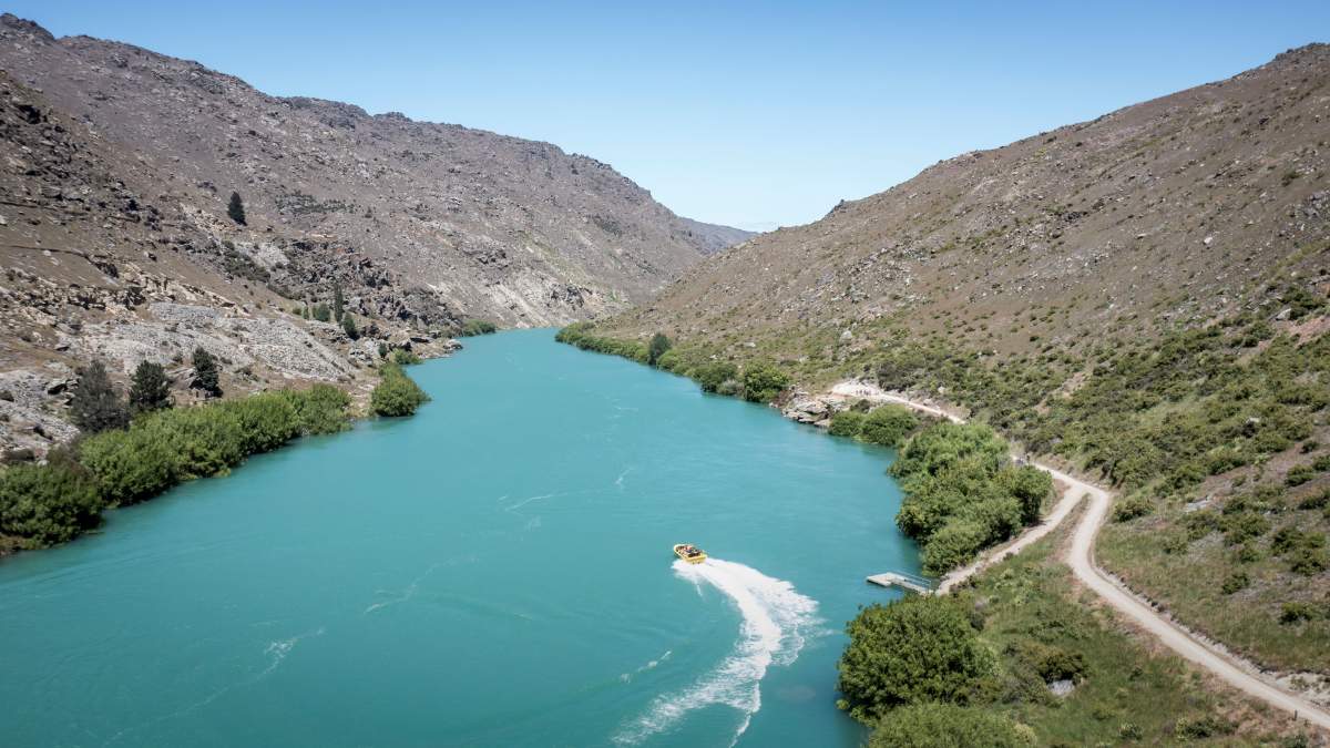
A jet boat transfer is required to connect the two ends of the Roxburgh Gorge Trail.
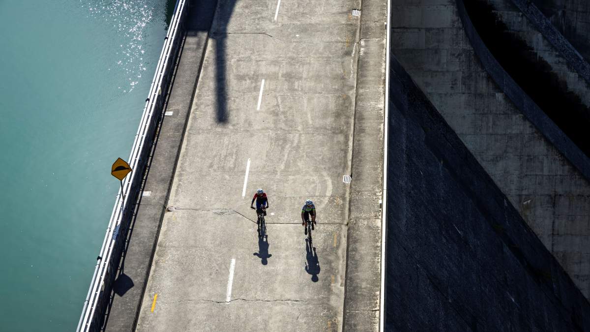
Crossing the Roxburgh Dam to connect to the Clutha Gold Trail.
DAY 4
Roxburgh to Lawrence
Riding Distance 64km | Grade 2
Stock up with snacks and supplies in Roxburgh (a visit to Jimmy’s Pies is a must) before crossing the bridge and riding southward on the Clutha Gold Trail. The trail meanders along the river all the way to Beaumont with a variety of great picnic spots along the way. If you’re tempted by a swim in the summer, make sure to pick your spot carefully as the river is swift flowing with strong currents in places.
Not far beyond Millers Flat (19.6km from Roxburgh), a short walk off the trail to Horseshoe Bend Bridge is well worth a visit.
Two options for lunch along the trail are the Millers Flat Tavern or Beaumont Hotel – but check opening hours in advance.
After 44km, at Beaumont, farewell the Clutha River and continue along the trail for 19.4km to Lawrence. A highly recommended side trip from Lawrence is to visit Gabriel’s Gully which is an easy 4km detour (one way) from the trail. Gabriel’s Gully is where the Otago Goldrush started in 1861 and there’s an excellent interpretation walk which recounts the stories of the goldfield occupants with a series of informative panels as your guide.
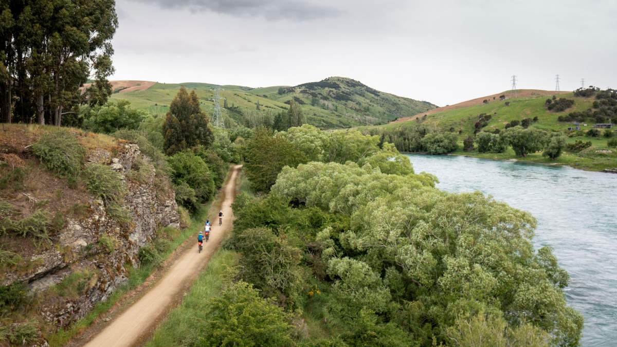
Meandering along the mighty Mata-Au | Clutha River
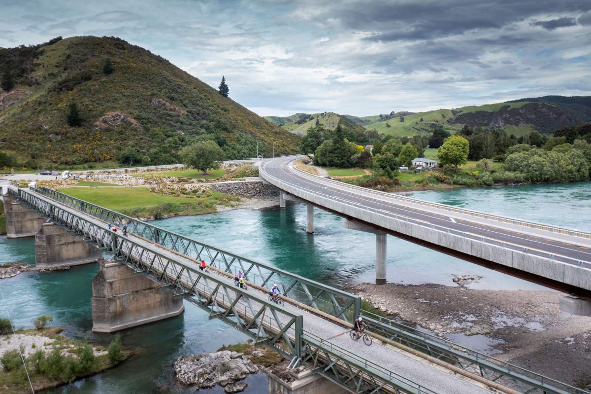
The Beaumont Bridges connect Central Otago to Clutha District.
DAY 5
Lawrence to Waihola
Riding Distance 62km | Grade 2
This remarkable 62km new section of trail opened in August 2023 and winds through rolling farmland all the way to Lake Waihola on the east coast. Currently, there are only a few options for coffee and lunch along this new section of trail, so make sure you caffeinate and fuel up in Lawrence before your ride – although there is a great stop for a second coffee and a scone in Waitahuna just 14km along the trail from Lawrence.
From Waitahuna the trail to Milton (31km) follows an old railway line for a while and includes two historic tunnels where a torch comes in very handy. Mt Stuart Reserve is a great spot for a snack break or picnic before arriving in Milton which is ideally located for lunch. Beyond Milton the trail runs parallel to SH1 for a short way and includes the funky Calder Stewart Bridges, before arriving at Lake Waihola after 17km with lengthy sections of boardwalk which flank the shoreline and wetlands. You’ll notice where local conservation groups are helping restore the native habitat along this section of trail and it’s a great place to see native wildlife.
Your journey ends at Waihola itself, where a cold beer at the Waihola Tavern or fish and chips on the lakefront are your reward for an epic ride across Otago.
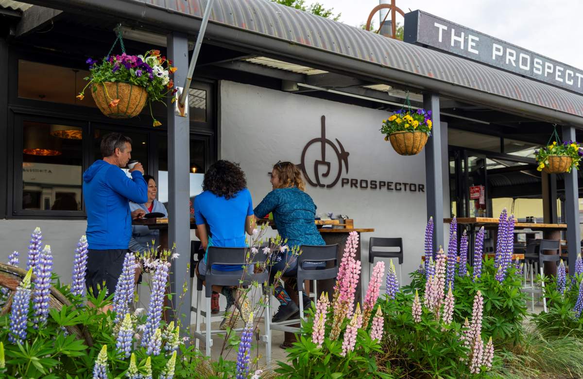
Pre-ride 'caffeinating' at the Prospector Cafe in Lawrence.
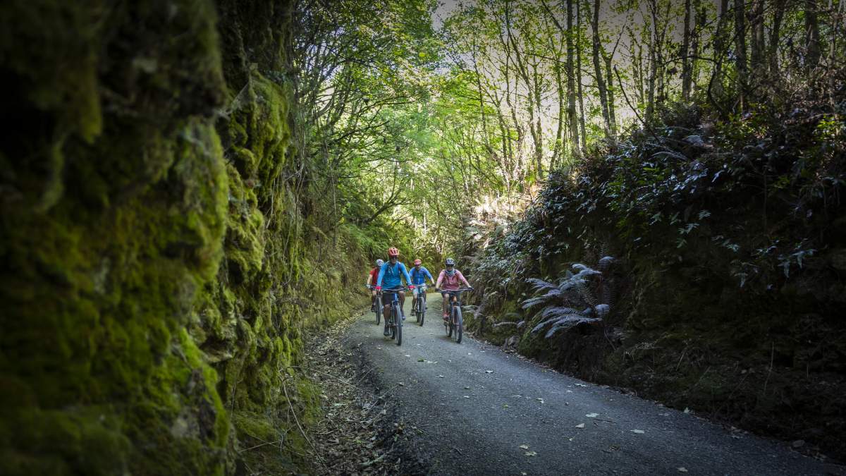
The trail follows a disused railway line for some of the way.
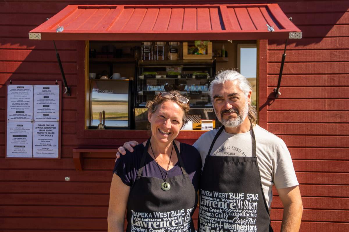
A welcome coffee stop in Waitahuna on the Clutha Gold Trail.
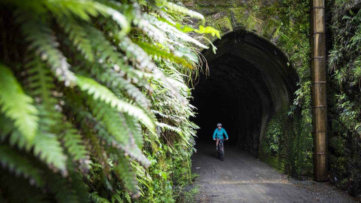
A torch comes in very handy for safely navigating the tunnels along the trail.
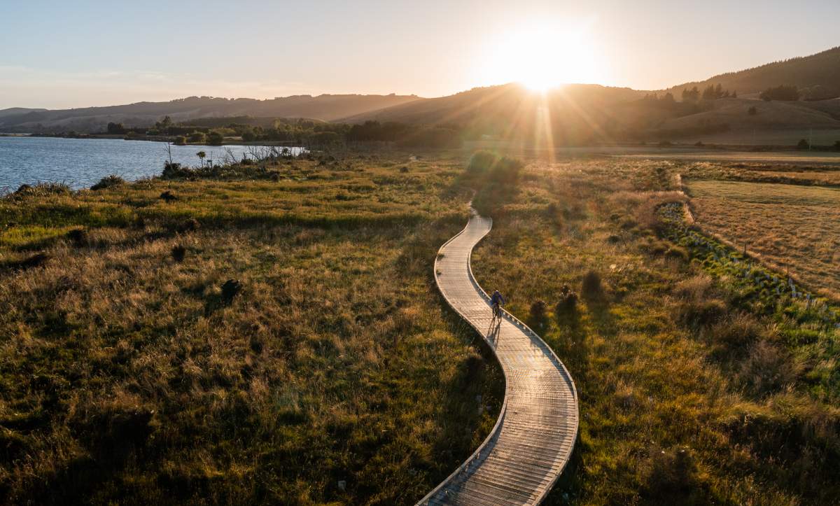
The boardwalk around Lake Waihola's wetlands is a great place to see wildlife.
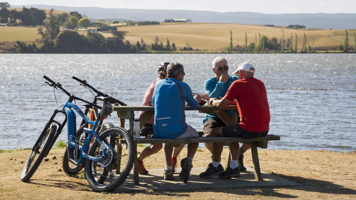
Celebrating the completion of a 250km long journey with fish and chips on the Waihola lakefront.


